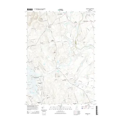
2014 Map of Limington
USGS Topo · Published 2014About this map
The Little Ossipee River and Saco River converge in this corner of York and Cumberland Counties, defining a landscape marked by small riverside settlements and upland ridges. Along the waterways, historic hubs like Chadbournes Mills and Edgecomb Bridge indicate the importance of the river network for early industry and transit. To the north, the terrain rises toward Libby Mountain and Maloy Mountain, while the southern reaches show the residential expansion around Lake Arrowhead and its associated estates. Genealogists will find a wealth of specific local history through numerous family-named landmarks and burial grounds, including the Earl Gerry Whitehouse Cem, Boulter John Cem, and York Cem. Private tracts like the Brackett Lot and Dominicus Hasty Lot further establish the map's value for tracing land ownership and community development in this rural Maine corridor.
Find a feature on this map
82 named features on this map. Tap any name to fly to it.
Don’t see what you’re looking for? This feature index may not catch every label — zoom into the map to look around manually.
Map Details
Editions of this 2014 Limington Map
This is the sole edition of this map. No revisions or reprints were ever made.
Other maps of this area

1891 · Buxton
USGS Topo · 1:62,500

1891 · Newfield
USGS Topo · 1:62,500

1892 · Buxton
USGS Topo · 1:62,500

1893 · Buxton
USGS Topo · 1:62,500

1893 · Newfield
USGS Topo · 1:62,500

1896 · Sebago
USGS Topo · 1:62,500

1910 · Kezar Falls
USGS Topo · 1:48,000

1911 · Kezar Falls
USGS Topo · 1:62,500

1933 · Newfield
USGS Topo · 1:48,000

1937 · Newfield
USGS Topo · 1:62,500