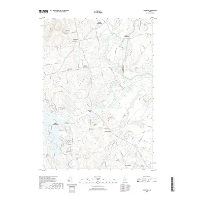
2018 Map of Limington
USGS Topo · Published 2018About this map
The Little Ossipee River meanders through this portion of York and Cumberland Counties, defining the landscape around North Limington, South Limington, and East Limington. This 2018 survey illustrates a region where water and topography dictated settlement, from the heights of Libby Mtn and Chadbournes Ridge to the basin of Lake Arrowhead. The map is particularly useful for genealogical research, identifying numerous family-named burial grounds and historic lots such as the Elder Grey Cem, York Cem, and the Dominicus Hasty Lot. Local infrastructure is anchored by crossings like the Edgecomb Bridge and a network of rural roads that follow the contours of Isinglass Hill and Maloy Mtn. The transition from the dense residential planning near the lake to the broader agricultural and wooded tracts of North Hollis and West Hollis highlights the varying land use patterns in this part of Maine.
Find a feature on this map
138 named features on this map. Tap any name to fly to it.
Don’t see what you’re looking for? This feature index may not catch every label — zoom into the map to look around manually.
Map Details
Editions of this 2018 Limington Map
This is the sole edition of this map. No revisions or reprints were ever made.
Other maps of this area

1891 · Buxton
USGS Topo · 1:62,500

1891 · Newfield
USGS Topo · 1:62,500

1892 · Buxton
USGS Topo · 1:62,500

1893 · Buxton
USGS Topo · 1:62,500

1893 · Newfield
USGS Topo · 1:62,500

1896 · Sebago
USGS Topo · 1:62,500

1910 · Kezar Falls
USGS Topo · 1:48,000

1911 · Kezar Falls
USGS Topo · 1:62,500

1933 · Newfield
USGS Topo · 1:48,000

1937 · Newfield
USGS Topo · 1:62,500