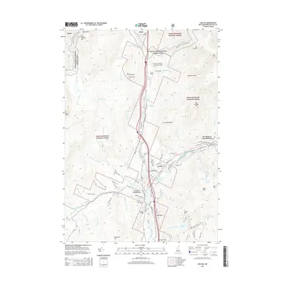
2015 Map of Lincoln
USGS Topo · Published 2015About this map
Lincoln and North Woodstock anchor this mountain landscape, positioned where the East Branch Pemigewasset River meets the main stem. The area's development is clearly shaped by its topography, with settlements and roads following the river valleys while the surrounding heights of the White Mountain National Forest remain largely preserved. Notable landmarks include the famous Flume and Pool along Cascade Brook, accessible via the Appalachian National Scenic Trail.
Find a feature on this map
90 named features on this map. Tap any name to fly to it.
Don’t see what you’re looking for? This feature index may not catch every label — zoom into the map to look around manually.
Map Details
Editions of this 2015 Lincoln Map
This is the sole edition of this map. No revisions or reprints were ever made.
Other maps of this area

1928 · Plymouth
USGS Topo · 1:62,500

1928 · Rumney
USGS Topo · 1:62,500

1929 · Moosilauke
USGS Topo · 1:62,500

1929 · Franconia
USGS Topo · 1:62,500

1931 · Plymouth
USGS Topo · 1:62,500

1932 · Franconia
USGS Topo · 1:62,500

1932 · Rumney
USGS Topo · 1:62,500

1932 · Moosilauke
USGS Topo · 1:62,500

1949 · Portland
USGS Topo · 1:250,000

1950 · Lewiston
USGS Topo · 1:250,000