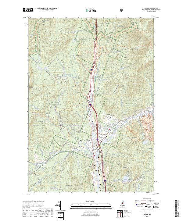
2024 Map of Lincoln
USGS Topo · Published 2024About this map
The Pemigewasset River and its East Branch converge near the towns of Lincoln and North Woodstock, framing a landscape defined by high peaks and recreation. To the north, the Appalachian National Scenic Trail winds through the White Mountain National Forest, passing iconic landmarks like The Basin and the narrow gorge of The Flume. The terrain is marked by significant elevations including Mt Flume, Mt Liberty, and the sprawling Sandwich Range to the southeast. Local history is anchored by family-named landmarks such as Jackman Cem and Parker Cem, while the modern economy is visible through the infrastructure of Loon Mtn and the Lincoln Sewage Lagoons. This survey captures the intersection of heavy tourism development and the preserved Pemigewasset Wilderness, where trails like Cascade Brook Trl provide access to the high granite ridges.
Find a feature on this map
103 named features on this map. Tap any name to fly to it.
Don’t see what you’re looking for? This feature index may not catch every label — zoom into the map to look around manually.
Map Details
Editions of this 2024 Lincoln Map
This is the sole edition of this map. No revisions or reprints were ever made.
Other maps of this area

1928 · Plymouth
USGS Topo · 1:62,500

1928 · Rumney
USGS Topo · 1:62,500

1929 · Moosilauke
USGS Topo · 1:62,500

1929 · Franconia
USGS Topo · 1:62,500

1931 · Plymouth
USGS Topo · 1:62,500

1932 · Franconia
USGS Topo · 1:62,500

1932 · Rumney
USGS Topo · 1:62,500

1932 · Moosilauke
USGS Topo · 1:62,500

1949 · Portland
USGS Topo · 1:250,000

1950 · Lewiston
USGS Topo · 1:250,000