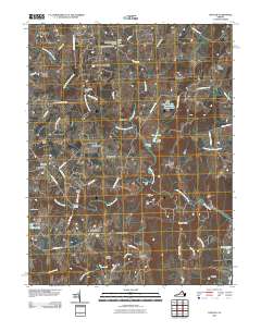
2010 Map of Lincoln
USGS Topo · Published 2010About this map
Goose Creek Burying Ground and Mount Olivet Cemetery sit near the village of Lincoln, marking the long-standing community roots in this part of Loudoun County. The landscape is defined by the winding course of North Fork Goose Creek and its many tributaries, including Beaverdam Creek and Woncopin Creek. Unlike more industrialized areas, this region maintains a pattern of dispersed hamlets and named farmsteads connected by historic thoroughfares like the Snickersville Tpke and Foundry Rd.
Find a feature on this map
69 named features on this map. Tap any name to fly to it.
Don’t see what you’re looking for? This feature index may not catch every label — zoom into the map to look around manually.
Map Details
Editions of this 2010 Lincoln Map
This is the sole edition of this map. No revisions or reprints were ever made.
Other maps of this area

1884 · Harpers Ferry
USGS Topo · 1:125,000

1891 · Harpers Ferry
USGS Topo · 1:125,000

1893 · Harpers Ferry
USGS Topo · 1:125,000

1894 · Warrenton
USGS Topo · 1:125,000

1916 · Berryville
USGS Topo · 1:62,500

1933 · Middleburg
USGS Topo · 1:62,500

1939 · Berryville
USGS Topo · 1:48,000

1943 · Arcola
USGS Topo · 1:24,000

1943 · Bluemont
USGS Topo · 1:24,000

1943 · Rectortown
USGS Topo · 1:24,000