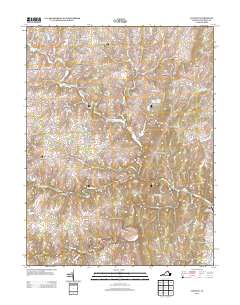
2013 Map of Lincoln
USGS Topo · Published 2013About this map
The Marble Quarry sits south of North Fork, a remnant of local industry amidst the agricultural landscape of Loudoun County. This region is characterized by a network of small, established settlements like Lincoln, Philomont, and Mountville that are connected by historic thoroughfares such as the Snickersville Tpke. The terrain is defined by prominent rises including Vesper Hill and Steptoe Hill, which overlook the winding course of the N Fork Goose Cr and Beaverdam Cr.
Find a feature on this map
139 named features on this map. Tap any name to fly to it.
Don’t see what you’re looking for? This feature index may not catch every label — zoom into the map to look around manually.
Map Details
Editions of this 2013 Lincoln Map
This is the sole edition of this map. No revisions or reprints were ever made.
Other maps of this area

1884 · Harpers Ferry
USGS Topo · 1:125,000

1891 · Harpers Ferry
USGS Topo · 1:125,000

1893 · Harpers Ferry
USGS Topo · 1:125,000

1894 · Warrenton
USGS Topo · 1:125,000

1916 · Berryville
USGS Topo · 1:62,500

1933 · Middleburg
USGS Topo · 1:62,500

1939 · Berryville
USGS Topo · 1:48,000

1943 · Arcola
USGS Topo · 1:24,000

1943 · Bluemont
USGS Topo · 1:24,000

1943 · Rectortown
USGS Topo · 1:24,000