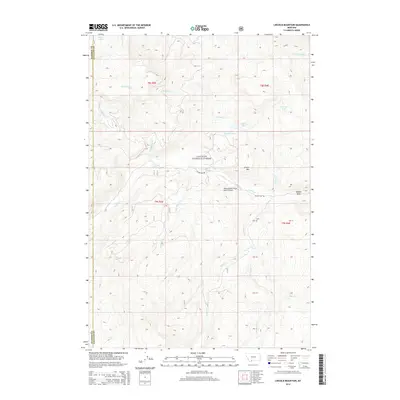
2014 Map of Lincoln Mountain
USGS Topo · Published 2014About this map
Gallatin National Forest encompasses this high-elevation landscape, where a network of creek drainages and alpine lakes defines the wilderness character of the region. The terrain is characterized by significant vertical relief, with Lincoln Mtn standing as a prominent landmark and the Middle Basin providing a focal point for the eastern drainage systems. Water is a defining element of this Montana backcountry, seen in the clustered Lizard Lakes near the Madison County line and high-altitude water bodies like Albino Lake and Marble Lake.
Find a feature on this map
28 named features on this map. Tap any name to fly to it.
Don’t see what you’re looking for? This feature index may not catch every label — zoom into the map to look around manually.
Map Details
Editions of this 2014 Lincoln Mountain Map
This is the sole edition of this map. No revisions or reprints were ever made.
Other maps of this area

1888 · Three Forks
USGS Topo · 1:250,000

1894 · Three Forks
USGS Topo · 1:250,000

1895 · Three Forks
USGS Topo · 1:250,000

1947 · Bozeman
USGS Topo · 1:250,000

1948 · Bozeman
USGS Topo · 1:250,000

1950 · Hebgen Dam
USGS Topo · 1:62,500

1950 · Sphinx Mountain
USGS Topo · 1:62,500

1955 · Bozeman
USGS Topo · 1:250,000

1955 · Crown Butte
USGS Topo · 1:62,500

1955 · Ashton
USGS Topo · 1:250,000