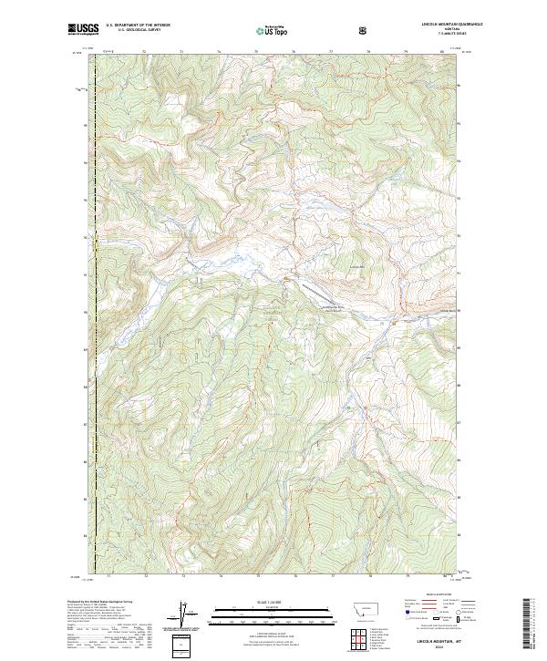
2024 Map of Lincoln Mountain
USGS Topo · Published 2024About this map
Gallatin National Forest encompasses this high-altitude landscape along the border of Madison and Gallatin counties. The terrain is defined by a dense network of mountain streams and alpine basins, including Meadow Creek and Taylor Creek. High peaks and ridges like Lincoln Mountain are accessible via an extensive system of established trails, such as the Deadhorse Creek Trail and Lizard Lakes Trail.
Find a feature on this map
38 named features on this map. Tap any name to fly to it.
Don’t see what you’re looking for? This feature index may not catch every label — zoom into the map to look around manually.
Map Details
Editions of this 2024 Lincoln Mountain Map
This is the sole edition of this map. No revisions or reprints were ever made.
Other maps of this area

1888 · Three Forks
USGS Topo · 1:250,000

1894 · Three Forks
USGS Topo · 1:250,000

1895 · Three Forks
USGS Topo · 1:250,000

1947 · Bozeman
USGS Topo · 1:250,000

1948 · Bozeman
USGS Topo · 1:250,000

1950 · Hebgen Dam
USGS Topo · 1:62,500

1950 · Sphinx Mountain
USGS Topo · 1:62,500

1955 · Bozeman
USGS Topo · 1:250,000

1955 · Crown Butte
USGS Topo · 1:62,500

1955 · Ashton
USGS Topo · 1:250,000