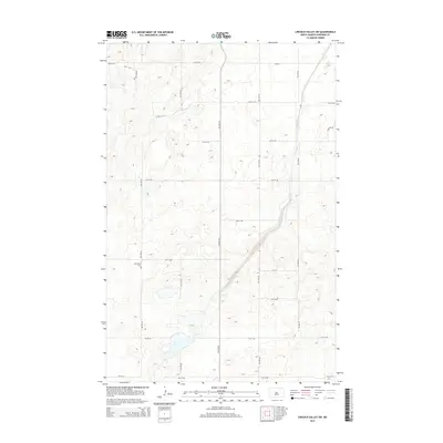
2014 Map of Lincoln Valley SW
USGS Topo · Published 2014About this map
Westhelm Cem serves as a central landmark in this portion of Sheridan County, situated amidst a landscape defined by its rigorous sectional grid. The terrain is characterized by numerous small depressions and prairie potholes, reflecting the glacial history typical of this North Dakota region. A systematic network of township roads, including 9th St Ne and 5th Ave Ne, provides access to the surrounding agricultural land. The presence of Cr-4216 in the northern reaches of the quadrangle indicates a primary corridor for local transit between rural homesteads and larger settlements beyond the map's borders. This survey captures a moment of modern rural infrastructure where the traditional section-line road system remains the primary framework for navigation and land management.
Find a feature on this map
16 named features on this map. Tap any name to fly to it.
Don’t see what you’re looking for? This feature index may not catch every label — zoom into the map to look around manually.
Map Details
Editions of this 2014 Lincoln Valley SW Map
This is the sole edition of this map. No revisions or reprints were ever made.
Other maps of this area

1945 · Pelican Lake
USGS Topo · 1:62,500

1947 · Pelican Lake
USGS Topo · 1:62,500

1947 · Lincoln Valley
USGS Topo · 1:62,500

1954 · McClusky
USGS Topo · 1:250,000

1958 · McClusky
USGS Topo · 1:250,000

1959 · Pickardville
USGS Topo · 1:24,000

1959 · McClusky
USGS Topo · 1:24,000

1960 · Lincoln Valley SE
USGS Topo · 1:24,000

1960 · Denhoff
USGS Topo · 1:24,000
1960 · Lincoln Valley
USGS Topo · 1:24,000