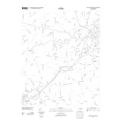
2013 Map of Lincolnton West
USGS Topo · Published 2013About this map
Crouse sits as a central junction in this part of Lincoln County, where local routes like NC-150 and NC-182 connect rural settlements. The landscape is defined by the winding course of the S Fork Catawba River and its numerous tributaries, including Indian Cr, Leonard Fork, and Beaverdam Cr. This area maintains a distinctively community-oriented character, anchored by local institutions such as Love Memorial School and Howards Creek School, alongside several long-standing congregations at Hephzibah Church and Saint Marks Church.
Find a feature on this map
227 named features on this map. Tap any name to fly to it.
Don’t see what you’re looking for? This feature index may not catch every label — zoom into the map to look around manually.
Map Details
Editions of this 2013 Lincolnton West Map
This is the sole edition of this map. No revisions or reprints were ever made.
Other maps of this area

1895 · Hickory
USGS Topo · 1:125,000

1909 · Lincolnton
USGS Topo · 1:62,500

1911 · Lincolnton
USGS Topo · 1:62,500

1914 · Gastonia
USGS Topo · 1:48,000

1916 · Gastonia
USGS Topo · 1:62,500

1953 · Charlotte
USGS Topo · 1:250,000

1954 · Charlotte
USGS Topo · 1:250,000

1960 · Charlotte
USGS Topo · 1:250,000

1962 · Charlotte
USGS Topo · 1:250,000
1970 · Banoak
USGS Topo · 1:24,000