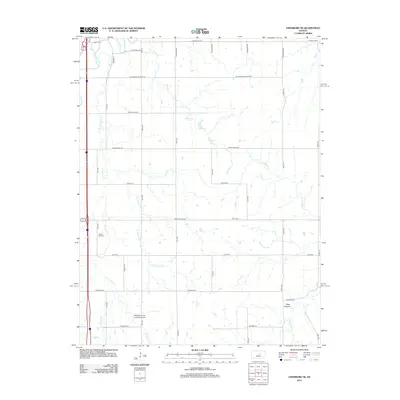
2012 Map of Lindsborg SE
USGS Topo · Published 2012About this map
The Smoky Hill River winds through the northwestern corner of this Kansas landscape, defining a rural corridor marked by agricultural section lines and an extensive network of creeks. In the early 21st century, this area of Saline County remains characterized by its dispersed landmarks, including the Smoky Hill Cem and Zion Cem, which serve as vital touchstones for local genealogical research. The map illustrates a transition between the river valley and the undulating terrain near Black Canyon to the southeast.
Find a feature on this map
37 named features on this map. Tap any name to fly to it.
Don’t see what you’re looking for? This feature index may not catch every label — zoom into the map to look around manually.
Map Details
Editions of this 2012 Lindsborg SE Map
This is the sole edition of this map. No revisions or reprints were ever made.
Other maps of this area

1889 · Newton
USGS Topo · 1:125,000

1889 · Abilene
USGS Topo · 1:125,000

1891 · Hutchinson
USGS Topo · 1:125,000

1892 · Salina
USGS Topo · 1:125,000

1893 · Hutchinson
USGS Topo · 1:125,000

1894 · Newton
USGS Topo · 1:125,000

1894 · Abilene
USGS Topo · 1:125,000

1942 · Salina
USGS Topo · 1:125,000

1955 · Assaria
USGS Topo · 1:24,000

1955 · Smolan
USGS Topo · 1:24,000