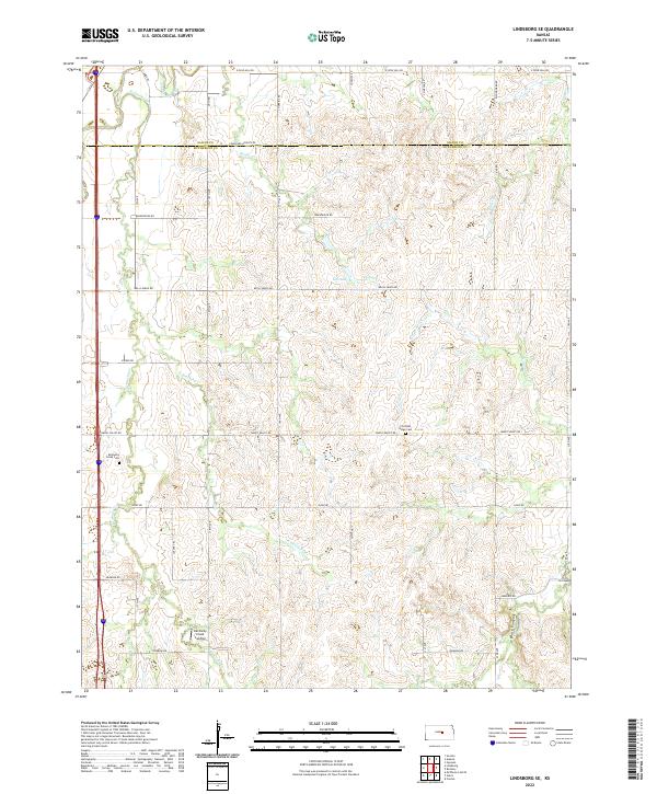
2022 Map of Lindsborg SE
USGS Topo · Published 2022About this map
Smoky Hill River drainage patterns define this agricultural landscape in northern McPherson County, where the topography transitions between the river valley and upland plains. A network of rural section roads, including names like Svensk Rd and Coronado Heights Rd, reflects the region's cultural heritage. Notable local landmarks for researchers include Kentucky Creek Landing and the Kentucky Creek Cem, both situated along the winding course of Kentucky Cr. The map captures a detailed drainage system featuring Pewee Cr, Gas Lake, and the prominent Twin Mound near the eastern boundary. These features, along with established sites like the Christian Ridge Cem, provide clear reference points for tracing property lines and historical land use in this part of Kansas.
Find a feature on this map
44 named features on this map. Tap any name to fly to it.
Don’t see what you’re looking for? This feature index may not catch every label — zoom into the map to look around manually.
Map Details
Editions of this 2022 Lindsborg SE Map
This is the sole edition of this map. No revisions or reprints were ever made.
Other maps of this area

1889 · Newton
USGS Topo · 1:125,000

1889 · Abilene
USGS Topo · 1:125,000

1891 · Hutchinson
USGS Topo · 1:125,000

1892 · Salina
USGS Topo · 1:125,000

1893 · Hutchinson
USGS Topo · 1:125,000

1894 · Newton
USGS Topo · 1:125,000

1894 · Abilene
USGS Topo · 1:125,000

1942 · Salina
USGS Topo · 1:125,000

1955 · Assaria
USGS Topo · 1:24,000

1955 · Smolan
USGS Topo · 1:24,000