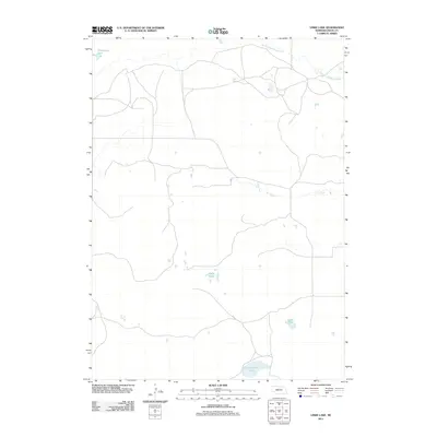
2011 Map of Linke Lake
USGS Topo · Published 2011About this map
Linke Lake and the surrounding Nebraska sandhills are defined by a complex network of shallow basins and ephemeral watercourses in this Rock County landscape. The drainage patterns here are particularly distinctive, as the South Fork Elkhorn River winds through the northern reaches while the seasonal waters of Dry Creek cut across the central plains. This 2011 survey documents a sparsely populated ranching region where water sources like Cameron Lake, Armstrong Lake, and the clustered Chain Lakes serve as the primary landmarks for local navigation and land management. The grid of local roads and 4WD tracks suggests a highly specialized rural infrastructure designed to navigate the sandy soil and reach isolated water bodies in an area where permanent human settlements are absent from the immediate terrain.
Find a feature on this map
6 named features on this map. Tap any name to fly to it.
Don’t see what you’re looking for? This feature index may not catch every label — zoom into the map to look around manually.
Map Details
Editions of this 2011 Linke Lake Map
This is the sole edition of this map. No revisions or reprints were ever made.
Other maps of this area

1954 · Bassett
USGS Topo · 1:24,000

1954 · Newport
USGS Topo · 1:24,000

1954 · Newport SW
USGS Topo · 1:24,000

1955 · O'Neill
USGS Topo · 1:250,000

1959 · O'Neill
USGS Topo · 1:250,000

1969 · O'Neill
USGS Topo · 1:250,000
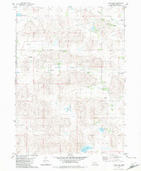
1982 · Linke Lake
USGS Topo · 1:24,000

1982 · Hagan Lake NE
USGS Topo · 1:24,000

1982 · Stockdale Lake
USGS Topo · 1:24,000

1982 · Sybrant
USGS Topo · 1:24,000