
1954 Map of Newport SW
USGS Topo · Published 1956About this map
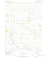
The North Fork Elkhorn River and South Fork Elkhorn River wind through this stretch of Rock County, Nebraska, defining a landscape of low-lying wetlands and prairie dunes. The northern portion of the map is dominated by the corridor of the Chicago and North Western railroad, which runs parallel to the river valley and served as a primary transportation artery for rural cattle and grain interests.
Find a feature on this map
12 named features on this map. Tap any name to fly to it.
Don’t see what you’re looking for? This feature index may not catch every label — zoom into the map to look around manually.
Map Details
Editions of this 1954 Newport SW Map
2 editions found
Other maps of this area

1949 · Riverview
USGS Topo · 1:24,000

1949 · Carns
USGS Topo · 1:24,000

1950 · Carns
USGS Topo · 1:24,000

1950 · Riverview
USGS Topo · 1:24,000

1954 · Newport NE
USGS Topo · 1:24,000

1954 · Bassett
USGS Topo · 1:24,000

1954 · Newport
USGS Topo · 1:24,000

1955 · O'Neill
USGS Topo · 1:250,000

1959 · O'Neill
USGS Topo · 1:250,000

1969 · O'Neill
USGS Topo · 1:250,000