
1982 Map of Hagan Lake NE
USGS Topo · Published 1982About this map
Isolated ranching outposts and scattered water sources define this portion of the Nebraska Sandhills during the early 1980s. The landscape is marked by the presence of several established family operations, including Davis Ranch, Lanz Ranch, and Bain Ranch, which illustrate the region's enduring reliance on large-scale grazing. Settlement patterns are sparse, anchored by local community landmarks such as Thurman Cem and the Thurman Sch located near the center of the survey. A few industrial or resource extraction points like Claypit and a site labeled Minnig dot the terrain, while Armstrong Lake and numerous marked wells highlight the critical importance of water management in this semi-arid environment. The transition between Township 29 North and Township 28 North provides a clear framework for researchers tracing historical land boundaries and property locations in Rock County.
Find a feature on this map
12 named features on this map. Tap any name to fly to it.
Don’t see what you’re looking for? This feature index may not catch every label — zoom into the map to look around manually.
Map Details
Editions of this 1982 Hagan Lake NE Map
This is the sole edition of this map. No revisions or reprints were ever made.
Other maps of this area

1954 · Long Pine
USGS Topo · 1:24,000

1954 · Bassett
USGS Topo · 1:24,000

1954 · Newport SW
USGS Topo · 1:24,000

1955 · O'Neill
USGS Topo · 1:250,000

1959 · O'Neill
USGS Topo · 1:250,000

1969 · O'Neill
USGS Topo · 1:250,000
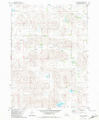
1982 · Linke Lake
USGS Topo · 1:24,000

1982 · Stockdale Lake
USGS Topo · 1:24,000
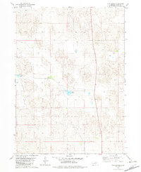
1982 · Lake George
USGS Topo · 1:24,000
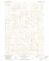
1982 · Hagan Lake
USGS Topo · 1:24,000