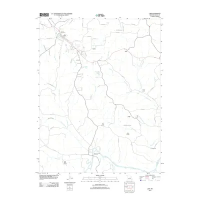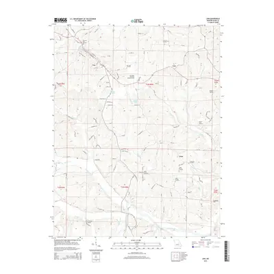
1981 Map of Linn
USGS Topo · Published 1981About this map
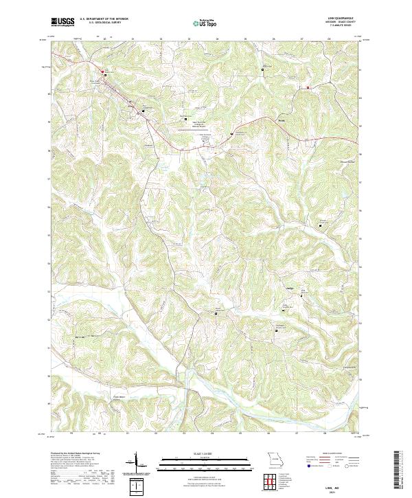
The town of Linn serves as the focal point of this Osage County region, shown during its early 1980s development. The landscape is marked by educational and community landmarks such as the Technical College, the Thurman L Willett Fieldhouse, and the Osage Country Club. For genealogists and local historians, the map is remarkably dense with family-named burial grounds, including the Lee Clark Cem, Ben Clark Cem, Judge Branson Cem, and Wash Branson Cem, reflecting deep-seated settlement patterns across the townships of Crawford and Washington.
Find a feature on this map
49 named features on this map. Tap any name to fly to it.
Don’t see what you’re looking for? This feature index may not catch every label — zoom into the map to look around manually.
Map Details
Editions of this 1981 Linn Map
This is the sole edition of this map. No revisions or reprints were ever made.
Historical Maps of Linn Through Time
8 maps found