Loading...
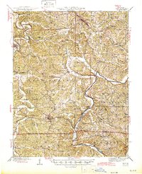
Loading map...1945 Map of Linn
USGS Topo · Published 1945About this map
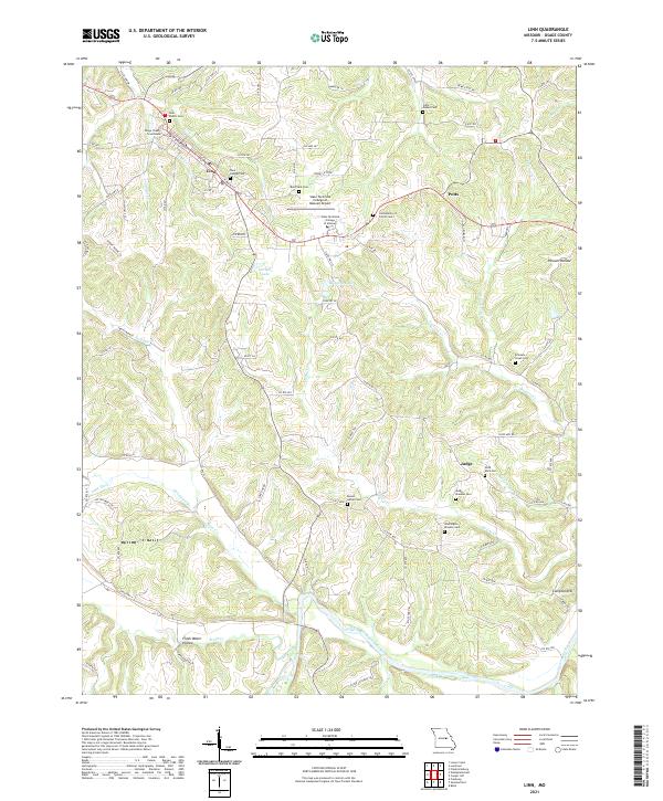
The Gasconade River and Maries River carve through the Missouri interior, defining the rural landscape of Osage County in the years following the Second World War. Steep bluffs and deep hollows like Cave Hollow and Steuber Hollow frame a region of tightly-knit farming communities, including Westphalia, Rich Fountain, and Freeburg. Settlement patterns here are anchored by local institutions, with numerous country schools such as Potts Sch and Winkelman Sch serving outlying homesteads.
Find a feature on this map
57 named features on this map. Tap any name to fly to it.
Don’t see what you’re looking for? This feature index may not catch every label — zoom into the map to look around manually.
Map Details
Date Portrayed1945
Date Published1945
PublisherU.S. Geological Survey
Map TypeTopographic
Scale1:62,500
Physical Dimensions16.9 x 20.8 inches
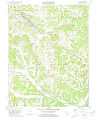
Editions of this 1945 Linn Map
2 editions found

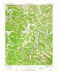
Historical Maps of Linn Through Time
8 maps found

Featured Locations
Source Details
SourceU.S. Geological Survey
CopyrightPublic Domain