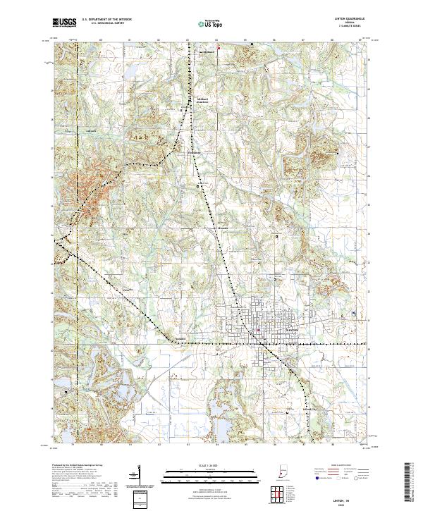
2022 Map of Linton
USGS Topo · Published 2022About this map
Linton serves as the primary hub in this southwestern Indiana landscape, where the flatlands of the Wabash Valley begin to meet the rolling Hoosier Hills. The map details a complex network of rural settlements like Vicksburg, Midland, and Victoria, often situated near significant water features and drainage systems. Numerous family and community burial grounds, including the Old Linton Cem and German Memory Hill Cem, are scattered across the terrain, providing essential landmarks for genealogical research. The presence of Beehunter Ditch and the Willow Slough indicates a highly managed hydraulic landscape, reflecting the region's transition from natural wetlands to agricultural and industrial utility. Recreation and land use are also prominent, seen in the Redbird Sra Atv/Dirt Bike And Trails Trl and various Mountain Bike Trails Trl that navigate the varied elevations near the Sullivan and Greene county line.
Find a feature on this map
92 named features on this map. Tap any name to fly to it.
Don’t see what you’re looking for? This feature index may not catch every label — zoom into the map to look around manually.
Map Details
Editions of this 2022 Linton Map
This is the sole edition of this map. No revisions or reprints were ever made.
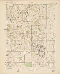
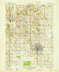
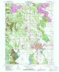
Historical Maps of Vicksburg Through Time
4 maps found