Loading...
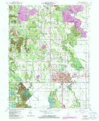
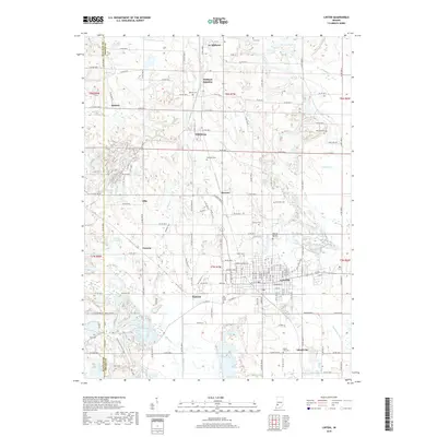
Loading map...1947 Map of Linton
USGS Topo · Published 1951About this map
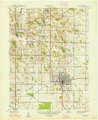
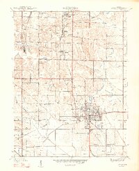
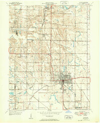
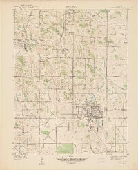
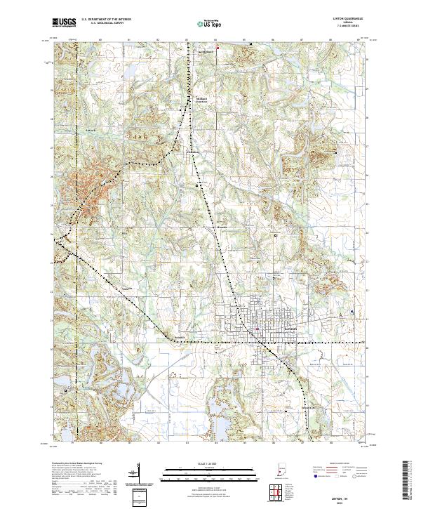
The heavy industrial footprint of Greene County is on full display in this late 1930s landscape, where numerous Strip Mine operations dominate the topography surrounding Linton. This area serves as a major transportation hub, evidenced by the dense network of competing rail lines including the Pennsylvania, Illinois Central, and the Chicago Milwaukee St Paul and Pacific. These tracks connect established communities like Midland and Vicksburg to the extraction sites and larger markets.
Find a feature on this map
48 named features on this map. Tap any name to fly to it.
Don’t see what you’re looking for? This feature index may not catch every label — zoom into the map to look around manually.
Map Details
Date Portrayed1947
Date Published1951
PublisherU.S. Geological Survey
Map TypeTopographic
Scale1:24,000
Physical Dimensions22.1 x 27 inches
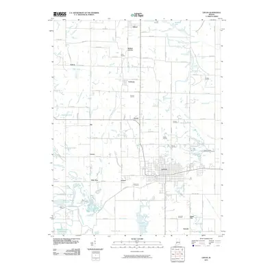
Editions of this 1947 Linton Map
3 editions found
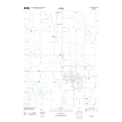
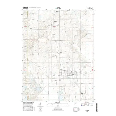
Historical Maps of Linton Through Time
8 maps found
Featured Locations
Source Details
SourceU.S. Geological Survey
CopyrightPublic Domain