
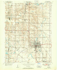
1947 Map of Linton
USGS Topo · Published 1947About this map
The extensive coal mining operations of Greene and Sullivan counties dominate this mid-century landscape, characterized by numerous Strip Mine excavations scarring the terrain around Linton. The region is a dense network of industrial transit, where the Pennsylvania, Illinois Central, and Chicago Milwaukee St Paul and Pacific railroads converge to service the extractive economy. Beyond the industrial zones, a traditional rural infrastructure of country schools and churches remains visible. Places like Sassafras Sch, Bedwell Sch, and Olive Branch Ch are scattered among the townships, providing vital genealogical markers for the period. Drainage projects like the Goose Pond Ditch and Beehunter Ditch reveal the early efforts to manage the low-lying wetlands of southern Stockton and Jefferson townships for agriculture or mining use.
Find a feature on this map
46 named features on this map. Tap any name to fly to it.
Don’t see what you’re looking for? This feature index may not catch every label — zoom into the map to look around manually.
Map Details
Editions of this 1947 Linton Map
3 editions found
Other maps of this area

1938 · Coal City
USGS Topo · 1:24,000

1938 · Switz City
USGS Topo · 1:24,000

1940 · Linton
USGS Topo · 1:24,000

1940 · Jasonville
USGS Topo · 1:24,000

1943 · Lyons
USGS Topo · 1:24,000

1943 · Hymera
USGS Topo · 1:24,000

1943 · Sandborn
USGS Topo · 1:24,000

1943 · Dugger
USGS Topo · 1:24,000

1944 · Bucktown
USGS Topo · 1:24,000

1947 · Switz City
USGS Topo · 1:24,000