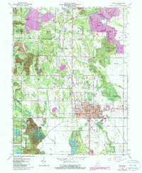
1963 Map of Linton
USGS Topo · Published 1987About this map
The Linton city grid dominates the southeastern portion of this map, revealing a well-established regional hub supported by an extensive rail network. The Illinois Central Railroad and the Chicago Milwaukee St Paul and Pacific Railroad cross the landscape, connecting smaller settlements like Midland Junction, Vicksburg, and Victoria. A notable point of geographical interest is the Historical Marker 75th Center of Population 1930-1940, located east of the city.
Find a feature on this map
63 named features on this map. Tap any name to fly to it.
Don’t see what you’re looking for? This feature index may not catch every label — zoom into the map to look around manually.
Map Details
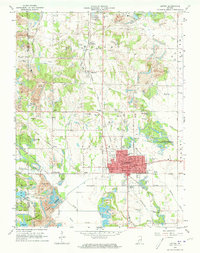
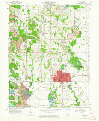
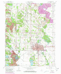
Editions of this 1963 Linton Map
4 editions found
Other maps of this area

1938 · Coal City
USGS Topo · 1:24,000

1938 · Switz City
USGS Topo · 1:24,000

1940 · Linton
USGS Topo · 1:24,000

1940 · Jasonville
USGS Topo · 1:24,000

1943 · Lyons
USGS Topo · 1:24,000

1943 · Hymera
USGS Topo · 1:24,000

1943 · Sandborn
USGS Topo · 1:24,000

1943 · Dugger
USGS Topo · 1:24,000

1944 · Bucktown
USGS Topo · 1:24,000

1947 · Switz City
USGS Topo · 1:24,000