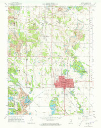
1963 Map of Linton
USGS Topo · Published 1964About this map
The town of Linton serves as a major hub for the Indiana coal fields in the early 1960s, surrounded by a landscape heavily shaped by industrial activity. The area is marked by numerous Strip Mines and several water features born from the mining process, such as Reservoir No 26 and Reservoir No 29 within the Greene-Sullivan State Forest. A dense network of railroads, including the Monon, Pennsylvania, and Illinois Central, converges to transport the region's resources.
Find a feature on this map
75 named features on this map. Tap any name to fly to it.
Don’t see what you’re looking for? This feature index may not catch every label — zoom into the map to look around manually.
Map Details
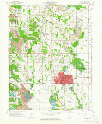
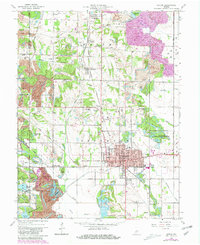
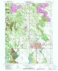
Editions of this 1963 Linton Map
4 editions found
Other maps of this area

1938 · Coal City
USGS Topo · 1:24,000

1938 · Switz City
USGS Topo · 1:24,000

1940 · Linton
USGS Topo · 1:24,000

1940 · Jasonville
USGS Topo · 1:24,000

1943 · Lyons
USGS Topo · 1:24,000

1943 · Hymera
USGS Topo · 1:24,000

1943 · Sandborn
USGS Topo · 1:24,000

1943 · Dugger
USGS Topo · 1:24,000

1944 · Bucktown
USGS Topo · 1:24,000

1947 · Switz City
USGS Topo · 1:24,000