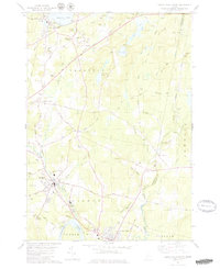
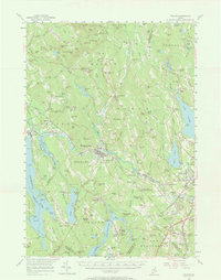
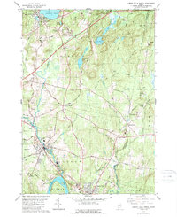
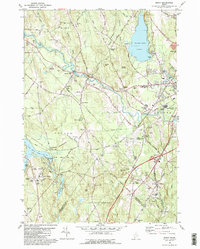
1979 Map of Lisbon Falls North
USGS Topo · Published 1979This historical map portrays the area of Lisbon Falls North in 1979, primarily covering Androscoggin County as well as portions of Sagadahoc County and Kennebec County. Featuring a scale of 1:24000, this map provides a highly detailed snapshot of the terrain, roads, buildings, counties, and historical landmarks in the Lisbon Falls North region at the time. Published in 1979, it is one of 3 known editions of this map due to revisions or reprints.
Find a feature on this map
71 named features on this map. Tap any name to fly to it.
Don’t see what you’re looking for? This feature index may not catch every label — zoom into the map to look around manually.
Map Details
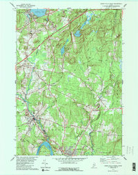
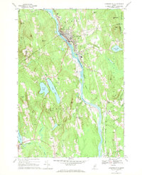
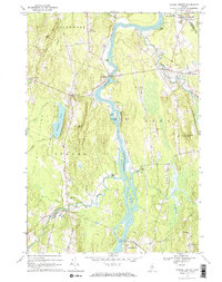
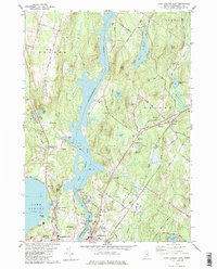
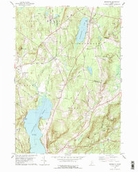
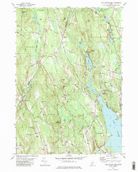
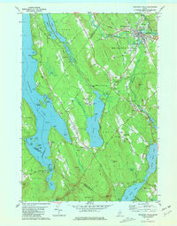
Editions of this 1979 Lisbon Falls North Map
3 editions found
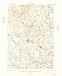
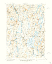
Historical Maps of Bowdoin Through Time
16 maps found
1908 Poland
Androscoggin County, ME

1910 Livermore
Androscoggin County, ME
1912 Livermore
Androscoggin County, ME

1940 Poland
Androscoggin County, ME

1941 Livermore
Androscoggin County, ME

1942 Poland
Androscoggin County, ME
1956 Poland
Androscoggin County, ME
1967 Livermore Falls
Androscoggin County, ME
1967 Turner Center
Androscoggin County, ME
1979 Lake Auburn East
Androscoggin County, ME
1979 Lisbon Falls North
Androscoggin County, ME
1979 Monmouth
Androscoggin County, ME
1981 Lake Auburn West
Androscoggin County, ME
1981 Mechanic Falls
Androscoggin County, ME
1981 Minot
Androscoggin County, ME
1995 Mechanic Falls
Androscoggin County, ME