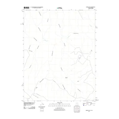
2011 Map of Lisbon Gap
USGS Topo · Published 2011About this map
Radar Mine, White Cow Mine, and the Ada Bell Mine anchor the eastern plateau of this Montrose County landscape, highlighting a history of mineral extraction in the high desert. The terrain is defined by the significant break at Lisbon Gap, where the higher elevations of Island Mesa and Middle Mesa overlook the Lower Libson Valley. A complex system of drainage and erosion is evident through the deep incisions of Lisbon Canyon, Island Canyon, and Snyder Water Canyon.
Find a feature on this map
22 named features on this map. Tap any name to fly to it.
Don’t see what you’re looking for? This feature index may not catch every label — zoom into the map to look around manually.
Map Details
Editions of this 2011 Lisbon Gap Map
This is the sole edition of this map. No revisions or reprints were ever made.
Other maps of this area

1885 · La Sal
USGS Topo · 1:250,000

1916 · Paradox Valley
USGS Topo · 1:125,000

1922 · Paradox Valley
USGS Topo · 1:125,000

1948 · Horse Range Mesa
USGS Topo · 1:24,000

1948 · Paradox
USGS Topo · 1:24,000

1949 · Paradox
USGS Topo · 1:24,000
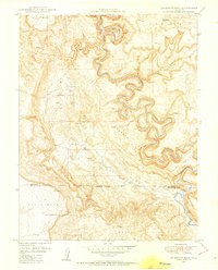
1949 · Anderson Mesa
USGS Topo · 1:24,000

1950 · Horse Range Mesa
USGS Topo · 1:24,000
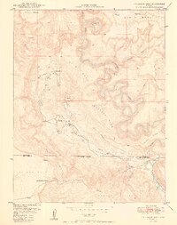
1950 · Anderson Mesa
USGS Topo · 1:24,000

1954 · Mt Peale 1 SE
USGS Topo · 1:24,000