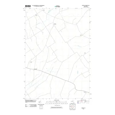
2010 Map of Lisbon
USGS Topo · Published 2010About this map
Lisbon serves as the central hub of this agricultural and rural landscape in Saint Lawrence County. The settlement pattern is defined by several crossroads communities, including North Corners, Gregory Corners, and Woodbridge Corners, which reveal the historical importance of intersection points for local commerce and social life. The terrain is marked by a series of parallel waterways, notably Sucker Brook, Brandy Brook, and Lisbon Creek, which drain the low-lying areas and likely influenced the placement of early farms and roadways. Several burial grounds are preserved across the area, such as Lisbon Cemetery, Flackville Cemetery, and Fulton Cemetery, providing important reference points for genealogists researching family lineages in the Flackville vicinity. The map illustrates a well-established network of secondary roads that connect these scattered hamlets and family-named landmarks.
Find a feature on this map
12 named features on this map. Tap any name to fly to it.
Don’t see what you’re looking for? This feature index may not catch every label — zoom into the map to look around manually.
Map Details
Editions of this 2010 Lisbon Map
This is the sole edition of this map. No revisions or reprints were ever made.
Other maps of this area

1904 · Lisbon
USGS Topo · 1:48,000

1904 · Ogdensburg
USGS Topo · 1:62,500

1905 · Waddington
USGS Topo · 1:62,500

1905 · Ogdensburg
USGS Topo · 1:62,500

1906 · Red Mills
USGS Topo · 1:62,500

1910 · Canton
USGS Topo · 1:62,500

1911 · Canton
USGS Topo · 1:62,500

1942 · Waddington
USGS Topo · 1:24,000

1943 · Ogdensburg East
USGS Topo · 1:31,680

1943 · Rensselaer Falls
USGS Topo · 1:31,680