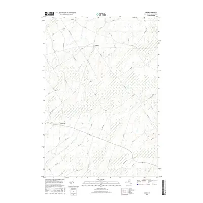
2016 Map of Lisbon
USGS Topo · Published 2016About this map
The town of Lisbon and the settlement of Flackville serve as the primary hubs in this part of Saint Lawrence County. This landscape is defined by its agricultural layout, with roads like Five Mile Line Rd and Cold Springs Rd cutting across a terrain marked by extensive wetlands and the winding path of Lisbon Cr. Local history is anchored by several burial grounds, including the centrally located Lisbon Cem, the Flackville Cem to the southwest, and the Fulton Cem in the eastern reaches. The presence of a Po in Lisbon indicates its role as a local center for the surrounding rural community. The map's detail reveals how the local road network, including numerous family-named routes like Heuvelton Rd and Mullen Rd, connects isolated farmsteads across the low-lying, water-rich environment.
Find a feature on this map
55 named features on this map. Tap any name to fly to it.
Don’t see what you’re looking for? This feature index may not catch every label — zoom into the map to look around manually.
Map Details
Editions of this 2016 Lisbon Map
This is the sole edition of this map. No revisions or reprints were ever made.
Other maps of this area

1904 · Lisbon
USGS Topo · 1:48,000

1904 · Ogdensburg
USGS Topo · 1:62,500

1905 · Waddington
USGS Topo · 1:62,500

1905 · Ogdensburg
USGS Topo · 1:62,500

1906 · Red Mills
USGS Topo · 1:62,500

1910 · Canton
USGS Topo · 1:62,500

1911 · Canton
USGS Topo · 1:62,500

1942 · Waddington
USGS Topo · 1:24,000

1943 · Ogdensburg East
USGS Topo · 1:31,680

1943 · Rensselaer Falls
USGS Topo · 1:31,680