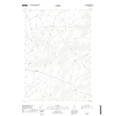
2019 Map of Lisbon
USGS Topo · Published 2019About this map
Lisbon and Flackville anchor this 2019 survey of the Saint Lawrence County interior, where a dense network of local roads crisscrosses a landscape defined by significant wetland acreage. The drainage of Lisbon Cr winds through the central terrain, while the area's rural history is preserved in several localized burial grounds, including Lisbon Cem, Flackville Cem, and Fulton Cem.
Find a feature on this map
55 named features on this map. Tap any name to fly to it.
Don’t see what you’re looking for? This feature index may not catch every label — zoom into the map to look around manually.
Map Details
Editions of this 2019 Lisbon Map
This is the sole edition of this map. No revisions or reprints were ever made.
Other maps of this area

1904 · Lisbon
USGS Topo · 1:48,000

1904 · Ogdensburg
USGS Topo · 1:62,500

1905 · Waddington
USGS Topo · 1:62,500

1905 · Ogdensburg
USGS Topo · 1:62,500

1906 · Red Mills
USGS Topo · 1:62,500

1910 · Canton
USGS Topo · 1:62,500

1911 · Canton
USGS Topo · 1:62,500

1942 · Waddington
USGS Topo · 1:24,000

1943 · Ogdensburg East
USGS Topo · 1:31,680

1943 · Rensselaer Falls
USGS Topo · 1:31,680