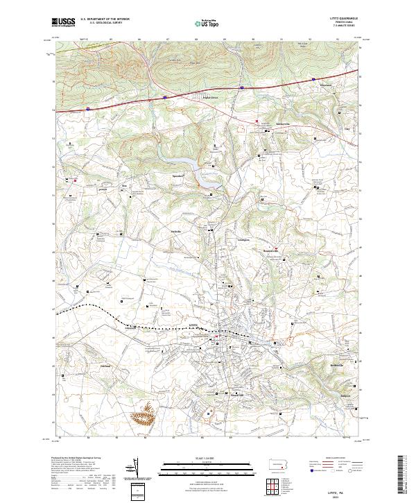
2023 Map of Lititz
USGS Topo · Published 2023About this map
Lititz and its surrounding borough represent a deep layer of Pennsylvania Dutch religious and social history, centered on the Moravian Cem and the prominent Revolutionary War Memorial. The landscape is densely packed with family cemeteries and small sectarian churches, reflecting the early settlement patterns of Mennonite, Amish, and Brethren communities. Features like the Hammer Creek Mennonite Church-Cem and White Oak Church of the Brethren Cem highlight the enduring presence of these congregations in northern Lancaster County.
Find a feature on this map
208 named features on this map. Tap any name to fly to it.
Don’t see what you’re looking for? This feature index may not catch every label — zoom into the map to look around manually.
Map Details
Editions of this 2023 Lititz Map
This is the sole edition of this map. No revisions or reprints were ever made.
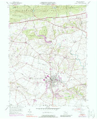
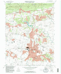
Historical Maps of Brickerville Through Time
3 maps found
Featured Locations
- Clay Township, PA
- Lititz, PA
- Limerock, Penn Township
- Rothsville, Warwick Township
- Halfville, Warwick Township