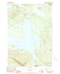
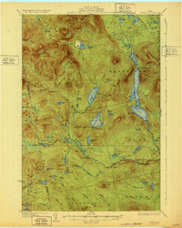
1989 Map of Little Bigelow Mtn
USGS Topo · Published 1989About this map
The Appalachian National Scenic Trail winds through the high ridges of Little Bigelow Mountain in this 1989 topographic survey. The landscape is dominated by the expansive waters of Flagstaff Lake, which is regulated by the Flagstaff Dam near Long Falls. This region of Somerset and Franklin counties reflects a transition from industrial water management to recreational preservation, evidenced by the scattered Campsites and a Boat Ramp along the shoreline.
Find a feature on this map
36 named features on this map. Tap any name to fly to it.
Don’t see what you’re looking for? This feature index may not catch every label — zoom into the map to look around manually.
Map Details
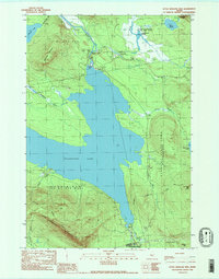
Editions of this 1989 Little Bigelow Mtn Map
2 editions found
Other maps of this area

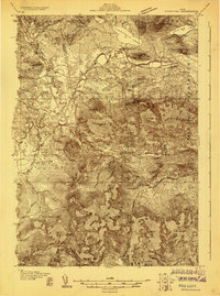
1925 · Pierce Pond
USGS Topo · 1:48,000

1927 · Pierce Pond
USGS Topo · 1:62,500
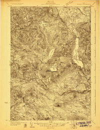
1928 · Spencer
USGS Topo · 1:48,000
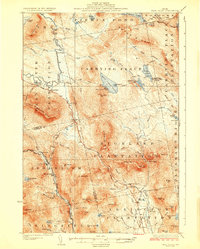
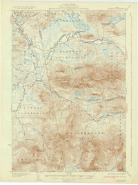
1928 · Dead River
USGS Topo · 1:62,500
1928 · Stratton
USGS Topo · 1:48,000

1931 · Dead River
USGS Topo · 1:48,000
1932 · Stratton
USGS Topo · 1:62,500
1932 · Spencer
USGS Topo · 1:62,500

1944 · Dead River
USGS Topo · 1:62,500

1944 · Pierce Pond
USGS Topo · 1:62,500
Featured Places
- Carrabassett Valley, ME
- Highland Plantation, ME
- Dead River Township, ME
- Spring Lake Township, ME
- Carrying Place Town Township, ME