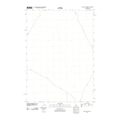
2010 Map of Little Butte NW
USGS Topo · Published 2010About this map
High desert terrain and the geometry of early 21st-century range roads define this portion of Bingham County. The landscape is marked by a sparse network of access routes, including the long sweep of Birch Creek Rd and the diagonal crossing of Shell Rd. These roads reflect the functional land management of the Snake River Plain, providing passage through an area characterized more by its open topography than by dense settlement. To the west, E Monument Line Rd follows a precise north-south alignment, while Ebr 2 Rd cuts through the southeastern corner, illustrating the grid-based surveying typical of the American West. This 2010 USGS survey shows the area just before modern satellite imagery became the primary tool for navigation, preserving the state of these rural corridors at the turn of the decade.
Find a feature on this map
4 named features on this map. Tap any name to fly to it.
Don’t see what you’re looking for? This feature index may not catch every label — zoom into the map to look around manually.
Map Details
Editions of this 2010 Little Butte NW Map
This is the sole edition of this map. No revisions or reprints were ever made.
Other maps of this area

1955 · Idaho Falls
USGS Topo · 1:250,000

1958 · Idaho Falls
USGS Topo · 1:250,000

1969 · Antelope Butte
USGS Topo · 1:24,000

1969 · Circular Butte
USGS Topo · 1:24,000

1969 · Big Lost River Sinks
USGS Topo · 1:24,000

1973 · Little Butte NE
USGS Topo · 1:24,000

1973 · Little Butte NW
USGS Topo · 1:24,000

1973 · Circular Butte 3 NE
USGS Topo · 1:24,000

1973 · Circular Butte 3 SE
USGS Topo · 1:24,000

1973 · Little Butte SW
USGS Topo · 1:24,000