
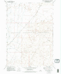
1973 Map of Circular Butte 3 NE
USGS Topo · Published 1976About this map
The Idaho National Engineering Laboratory dominates this high desert landscape as it appeared in the early 1970s. This restricted area in Butte County is defined by a sparse network of service roads, including Lincoln Boulevard and several Jeep Trails, crossing a terrain characterized by volcanic depressions. The Big Lost River cuts through the western portion of the sheet, though the drainage here is largely intermittent, disappearing into the porous ground. Several Borrow Pits and Borrow Pit sites are scattered along the roadway, indicating the ongoing material needs for building and maintaining the infrastructure of this sensitive government site. This survey provides a precise record of the laboratory's perimeter and the surrounding open rangeland just before the mid-1970s.
Find a feature on this map
7 named features on this map. Tap any name to fly to it.
Don’t see what you’re looking for? This feature index may not catch every label — zoom into the map to look around manually.
Map Details
Editions of this 1973 Circular Butte 3 NE Map
2 editions found
Other maps of this area

1955 · Idaho Falls
USGS Topo · 1:250,000

1958 · Idaho Falls
USGS Topo · 1:250,000

1969 · Little Lost River Sinks
USGS Topo · 1:24,000

1969 · Circular Butte
USGS Topo · 1:24,000

1969 · Big Lost River Sinks
USGS Topo · 1:24,000

1973 · Little Butte NW
USGS Topo · 1:24,000

1973 · Circular Butte 3 SW
USGS Topo · 1:24,000

1973 · Circular Butte 3 SE
USGS Topo · 1:24,000

1973 · Little Butte SW
USGS Topo · 1:24,000
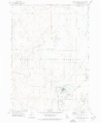
1973 · Circular Butte 3 NW
USGS Topo · 1:24,000