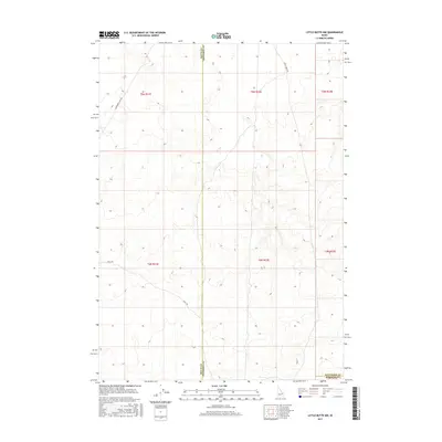
2017 Map of Little Butte NW
USGS Topo · Published 2017About this map
Arid basin terrain defines this 2017 survey at the intersection of Butte, Jefferson, and Bingham counties. The landscape is marked by the distinct absence of permanent water bodies, instead showing a network of utilitarian transit routes such as E Monument Line Rd and Shell Rd that cut across the section lines. The map illustrates the rigid organization of the Public Land Survey System, with the boundaries between Butte and Jefferson and Jefferson and Bingham counties established along these surveyed township and range lines. The sparse road network, including Birch Creek Rd, suggests a remote area primarily utilized for large-scale land management or grazing rather than dense residential settlement.
Find a feature on this map
12 named features on this map. Tap any name to fly to it.
Don’t see what you’re looking for? This feature index may not catch every label — zoom into the map to look around manually.
Map Details
Editions of this 2017 Little Butte NW Map
This is the sole edition of this map. No revisions or reprints were ever made.
Other maps of this area

1955 · Idaho Falls
USGS Topo · 1:250,000

1958 · Idaho Falls
USGS Topo · 1:250,000

1969 · Antelope Butte
USGS Topo · 1:24,000

1969 · Circular Butte
USGS Topo · 1:24,000

1969 · Big Lost River Sinks
USGS Topo · 1:24,000

1973 · Little Butte NE
USGS Topo · 1:24,000

1973 · Little Butte NW
USGS Topo · 1:24,000

1973 · Circular Butte 3 NE
USGS Topo · 1:24,000

1973 · Circular Butte 3 SE
USGS Topo · 1:24,000

1973 · Little Butte SW
USGS Topo · 1:24,000