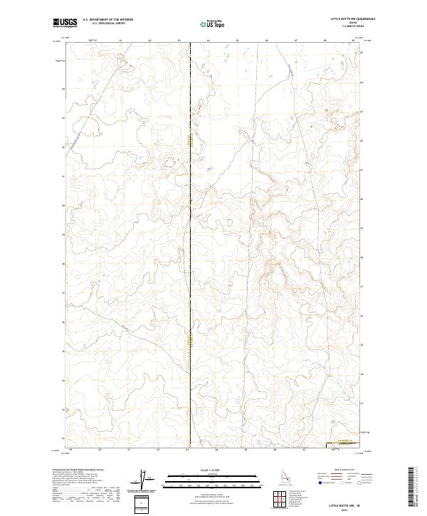
2023 Map of Little Butte NW
USGS Topo · Published 2023About this map
The high desert plains of the Snake River Plain take center stage in this recent topographic study of the borderlands between Butte Co, Jefferson Co, and Bingham Co. The landscape is characterized by its sparse infrastructure, defined largely by the intersection of township and range lines and a handful of utilitarian roads. This territory remains a workspace of open range and volcanic geology, where the few established routes like E Monument Line Rd, Shell Rd, and Birch Creek Rd provide the primary access through the sagebrush and lava-flow terrain. The lack of concentrated settlements or named water bodies emphasizes the arid and undeveloped character of this portion of eastern Idaho in the early twenty-first century, serving as a clean record of modern land divisions and access points for researchers and land managers.
Find a feature on this map
12 named features on this map. Tap any name to fly to it.
Don’t see what you’re looking for? This feature index may not catch every label — zoom into the map to look around manually.
Map Details
Editions of this 2023 Little Butte NW Map
This is the sole edition of this map. No revisions or reprints were ever made.
Other maps of this area

1955 · Idaho Falls
USGS Topo · 1:250,000

1958 · Idaho Falls
USGS Topo · 1:250,000

1969 · Antelope Butte
USGS Topo · 1:24,000

1969 · Circular Butte
USGS Topo · 1:24,000

1969 · Big Lost River Sinks
USGS Topo · 1:24,000

1973 · Little Butte NE
USGS Topo · 1:24,000

1973 · Little Butte NW
USGS Topo · 1:24,000

1973 · Circular Butte 3 NE
USGS Topo · 1:24,000

1973 · Circular Butte 3 SE
USGS Topo · 1:24,000

1973 · Little Butte SW
USGS Topo · 1:24,000