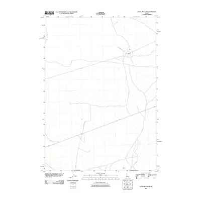
2010 Map of Little Butte SW
USGS Topo · Published 2010About this map
Argonne West serves as the primary point of settlement in this high-desert expanse of Bingham County, Idaho. The landscape is defined by the prominent volcanic profile of East Butte in the southern portion of the quadrangle, a significant landmark in the Snake River Plain. A network of rural arteries, including Taylor Blvd and Harrison Blvd, crisscrosses the open terrain, facilitating transit through an area dominated by dryland sagebrush and sparse development. The road network reveals a structured approach to this remote territory, with long, straight stretches like Twin Buttes Rd and Grant Rd reflecting the expansive scale of the Western landscape as it appeared in the early twenty-first century.
Find a feature on this map
7 named features on this map. Tap any name to fly to it.
Don’t see what you’re looking for? This feature index may not catch every label — zoom into the map to look around manually.
Map Details
Editions of this 2010 Little Butte SW Map
This is the sole edition of this map. No revisions or reprints were ever made.
Other maps of this area

1955 · Idaho Falls
USGS Topo · 1:250,000

1958 · Idaho Falls
USGS Topo · 1:250,000

1973 · Little Butte NE
USGS Topo · 1:24,000

1973 · Little Butte NW
USGS Topo · 1:24,000

1973 · Middle Butte
USGS Topo · 1:24,000

1973 · Circular Butte 3 NE
USGS Topo · 1:24,000

1973 · Atomic City
USGS Topo · 1:24,000

1973 · Circular Butte 3 SE
USGS Topo · 1:24,000

1973 · Little Butte SW
USGS Topo · 1:24,000

1973 · Little Butte
USGS Topo · 1:24,000