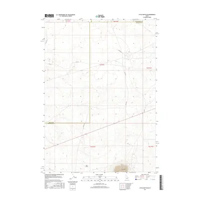
2017 Map of Little Butte SW
USGS Topo · Published 2017About this map
East Butte and the neighboring Twin Buttes anchor this portion of the Snake River Plain, where the intersection of Bingham Co, Butte Co, and Jefferson Co creates a complex jurisdictional boundary. The landscape is defined by a grid of rural roads and survey lines, including Stage Rd and Seven Mile Rd, which navigate the elevation changes around these volcanic landmarks. While largely open terrain, the mapping of Harrison Blvd and Taylor Blvd suggests a structured approach to land management and access in a region otherwise dominated by dramatic topographic features. The alignment of Twin Buttes Rd and Grant Rd further illustrates the transportation network that facilitates movement through this high-desert environment.
Find a feature on this map
16 named features on this map. Tap any name to fly to it.
Don’t see what you’re looking for? This feature index may not catch every label — zoom into the map to look around manually.
Map Details
Editions of this 2017 Little Butte SW Map
This is the sole edition of this map. No revisions or reprints were ever made.
Other maps of this area

1955 · Idaho Falls
USGS Topo · 1:250,000

1958 · Idaho Falls
USGS Topo · 1:250,000

1973 · Little Butte NE
USGS Topo · 1:24,000

1973 · Little Butte NW
USGS Topo · 1:24,000

1973 · Middle Butte
USGS Topo · 1:24,000

1973 · Circular Butte 3 NE
USGS Topo · 1:24,000

1973 · Atomic City
USGS Topo · 1:24,000

1973 · Circular Butte 3 SE
USGS Topo · 1:24,000

1973 · Little Butte SW
USGS Topo · 1:24,000

1973 · Little Butte
USGS Topo · 1:24,000