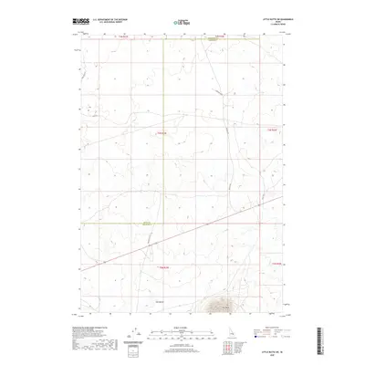
2020 Map of Little Butte SW
USGS Topo · Published 2020About this map
Twin Buttes and East Butte anchor the southern landscape of this high desert terrain at the convergence of Butte, Bingham, and Jefferson counties. The 2020 topography illustrates a sparsely settled but surveyed environment where the geometric precision of the Public Land Survey System—notably t3n r32e and t4n r32e—meets the natural volcanic rises of the Snake River Plain. A network of utilitarian and historically named thoroughfares such as Stage Rd and Seven Mile Rd crisscross the region, tracing paths that historically served as critical connectors across the expansive Idaho interior. The presence of Taylor Blvd and Harrison Blvd within this open landscape suggests a transition between agricultural land use and the remote high-desert plains that characterize this part of Bingham County.
Find a feature on this map
16 named features on this map. Tap any name to fly to it.
Don’t see what you’re looking for? This feature index may not catch every label — zoom into the map to look around manually.
Map Details
Editions of this 2020 Little Butte SW Map
This is the sole edition of this map. No revisions or reprints were ever made.
Other maps of this area

1955 · Idaho Falls
USGS Topo · 1:250,000

1958 · Idaho Falls
USGS Topo · 1:250,000

1973 · Little Butte NE
USGS Topo · 1:24,000

1973 · Little Butte NW
USGS Topo · 1:24,000

1973 · Middle Butte
USGS Topo · 1:24,000

1973 · Circular Butte 3 NE
USGS Topo · 1:24,000

1973 · Atomic City
USGS Topo · 1:24,000

1973 · Circular Butte 3 SE
USGS Topo · 1:24,000

1973 · Little Butte SW
USGS Topo · 1:24,000

1973 · Little Butte
USGS Topo · 1:24,000