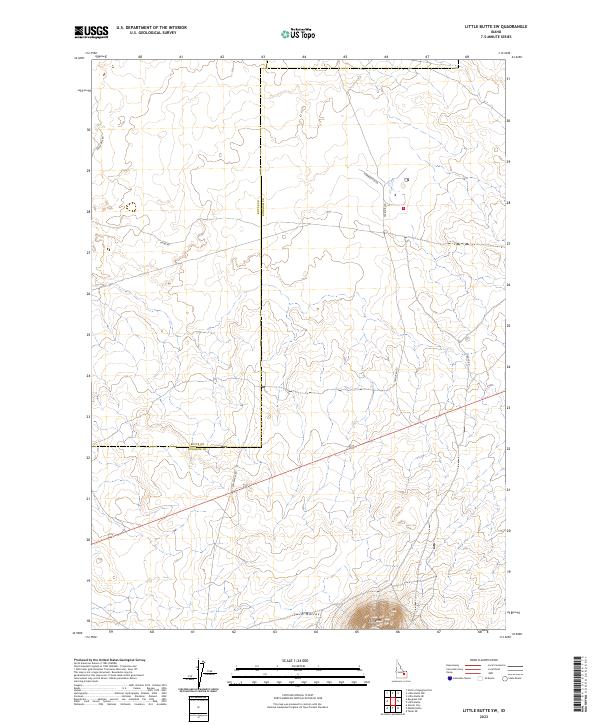
2023 Map of Little Butte SW
USGS Topo · Published 2023About this map
The high desert landscape of the Snake River Plain is defined by prominent volcanic landmarks, notably Twin Buttes and the northern slope of East Butte. Located on the border of Butte and Bingham counties, this area features a sparse network of roads that cut across the high-elevation terrain. Modern thoroughfares such as Harrison Blvd and Taylor Blvd intersect the open country, while the more descriptively named Stage Rd and Twin Buttes Rd suggest the historic movement of people through this interior Idaho region. The map provides a detailed view of the township and range lines, including t3n r32e, illustrating the precise surveying of these expansive western lands. This is a terrain of subtle elevation changes and significant geological formations that have served as navigational waypoints for generations.
Find a feature on this map
15 named features on this map. Tap any name to fly to it.
Don’t see what you’re looking for? This feature index may not catch every label — zoom into the map to look around manually.
Map Details
Editions of this 2023 Little Butte SW Map
This is the sole edition of this map. No revisions or reprints were ever made.
Other maps of this area

1955 · Idaho Falls
USGS Topo · 1:250,000

1958 · Idaho Falls
USGS Topo · 1:250,000

1973 · Little Butte NE
USGS Topo · 1:24,000

1973 · Little Butte NW
USGS Topo · 1:24,000

1973 · Middle Butte
USGS Topo · 1:24,000

1973 · Circular Butte 3 NE
USGS Topo · 1:24,000

1973 · Atomic City
USGS Topo · 1:24,000

1973 · Circular Butte 3 SE
USGS Topo · 1:24,000

1973 · Little Butte SW
USGS Topo · 1:24,000

1973 · Little Butte
USGS Topo · 1:24,000