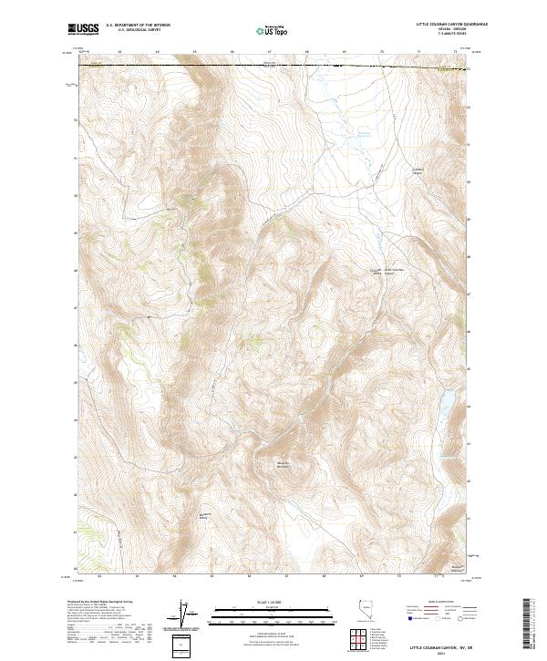
2021 Map of Little Coleman Canyon
USGS Topo · Published 2021About this map
Mosquito Mountain dominates this remote high-desert borderland where Nevada meets Oregon. The landscape is defined by the sharp transition from elevated peaks to deep drainage systems like Coleman Canyon and Little Coleman Canyon. Human activity in this arid environment is tied closely to water management, centered on Coleman Reservoir and the perennial Glenco Spring. The network of unpaved tracks, including Coleman Ranch Rd and Separate Rd, follows the natural contours of the land, connecting the basins of Coleman Valley and Mosquito Valley. This 2021 survey illustrates a sparse, ranching-oriented infrastructure typical of the Great Basin frontier, where named creeks like Coleman Cr and Horse Cr provide the essential lifelines for the region's land use.
Find a feature on this map
21 named features on this map. Tap any name to fly to it.
Don’t see what you’re looking for? This feature index may not catch every label — zoom into the map to look around manually.
Map Details
Editions of this 2021 Little Coleman Canyon Map
This is the sole edition of this map. No revisions or reprints were ever made.
Other maps of this area

1889 · Long Valley
USGS Topo · 1:250,000

1954 · Vya
USGS Topo · 1:250,000

1955 · Adel
USGS Topo · 1:250,000

1957 · Adel
USGS Topo · 1:250,000

1958 · Vya
USGS Topo · 1:250,000

1958 · Adel
USGS Topo · 1:250,000

1962 · Vya
USGS Topo · 1:250,000

1962 · Adel
USGS Topo · 1:250,000
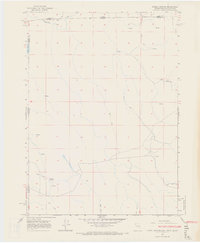
1966 · Barrel Springs
USGS Topo · 1:24,000
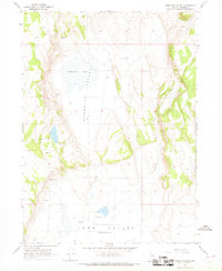
1966 · Mosquito Valley
USGS Topo · 1:24,000