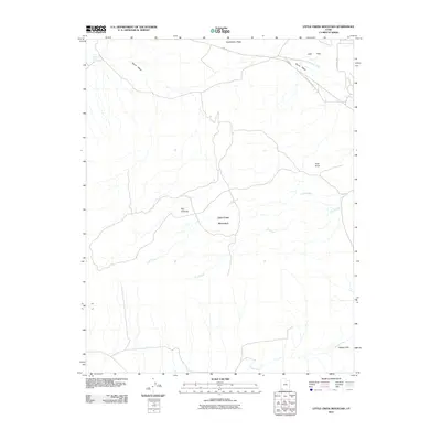
2011 Map of Little Creek Mountain
USGS Topo · Published 2011About this map
Little Creek Mountain dominates this portion of Washington County, Utah, providing a high-elevation landscape characterized by prominent plateaus and dramatic drainages. The northern edge of the map shows the transition into Little Plain and the sprawling expanse of Gooseberry Mesa, while the southern reaches drop toward Canaan Gap. The area is defined by its complex network of seasonal washes and creeks, including the headwaters of Little Creek and E P Creek, which carve through the high desert terrain.
Find a feature on this map
14 named features on this map. Tap any name to fly to it.
Don’t see what you’re looking for? This feature index may not catch every label — zoom into the map to look around manually.
Map Details
Editions of this 2011 Little Creek Mountain Map
This is the sole edition of this map. No revisions or reprints were ever made.
Other maps of this area

1885 · St. George
USGS Topo · 1:250,000

1886 · Mt. Trumbull
USGS Topo · 1:250,000

1891 · St. George
USGS Topo · 1:250,000

1892 · Mt. Trumbull
USGS Topo · 1:250,000

1953 · Cedar City
USGS Topo · 1:250,000

1953 · Grand Canyon
USGS Topo · 1:250,000

1954 · La Verkin 4 SE
USGS Topo · 1:24,000

1954 · La Verkin 4 NW
USGS Topo · 1:24,000

1954 · La Verkin 4 SW
USGS Topo · 1:24,000

1954 · Hurricane Cliffs 2 NE
USGS Topo · 1:24,000