
1972 Map of Little Grande
USGS Topo · Published 1975About this map
Sierra Grande dominates the western half of this Union County landscape, rising sharply above the high plains of northeastern New Mexico. This 1970s-era topographic study illustrates a sparsely populated ranching environment where life and movement are dictated by water and terrain. The Colorado and Southern railroad cuts a diagonal line across the eastern flats, providing a vital transportation artery through the territory near Little Grande.
Find a feature on this map
15 named features on this map. Tap any name to fly to it.
Don’t see what you’re looking for? This feature index may not catch every label — zoom into the map to look around manually.
Map Details
Editions of this 1972 Little Grande Map
This is the sole edition of this map. No revisions or reprints were ever made.
Other maps of this area

1954 · Dalhart
USGS Topo · 1:250,000

1958 · Dalhart
USGS Topo · 1:250,000

1962 · Dalhart
USGS Topo · 1:250,000

1972 · Cross L Ranch SW
USGS Topo · 1:24,000
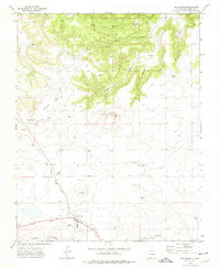
1972 · Des Moines
USGS Topo · 1:24,000

1972 · Capulin
USGS Topo · 1:24,000
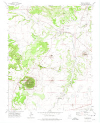
1972 · Folsom
USGS Topo · 1:24,000

1972 · Malpie Mountain
USGS Topo · 1:24,000

1972 · Cow Mountain
USGS Topo · 1:24,000
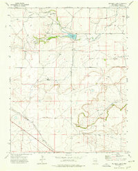
1973 · Wetherly Lake
USGS Topo · 1:24,000