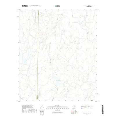
2019 Map of Little Grape Creek
USGS Topo · Published 2019About this map
Runnels and Coleman counties meet along a distinct north-south boundary line, dividing a landscape defined by an intricate network of seasonal drainage and water management. The Soil Conservation Service Site 2 Reservoir stands as a central feature of the local watershed, capturing runoff within this ranching and agricultural region. Significant watercourses such as Little Grape Cr and Grape Cr wind through the western portion of the map, while Elm Cr and Wheeler Br drain the eastern slopes. The area is intersected by a grid of county roads, including Co RD 467 and Co RD 329, which provide access to the dispersed homesteads and private lands that characterize this part of Central Texas.
Find a feature on this map
15 named features on this map. Tap any name to fly to it.
Don’t see what you’re looking for? This feature index may not catch every label — zoom into the map to look around manually.
Map Details
Editions of this 2019 Little Grape Creek Map
This is the sole edition of this map. No revisions or reprints were ever made.
Other maps of this area

1892 · Ballinger
USGS Topo · 1:125,000

1925 · Ballinger 3-d
USGS Topo · 1:48,000

1925 · Ballinger 4-c
USGS Topo · 1:48,000

1932 · Voss
USGS Topo · 1:62,500

1932 · Paint Rock
USGS Topo · 1:62,500

1954 · Brownwood
USGS Topo · 1:250,000

1967 · Talpa
USGS Topo · 1:24,000
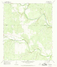
1967 · Concho
USGS Topo · 1:24,000
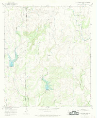
1967 · Little Grape Creek
USGS Topo · 1:24,000
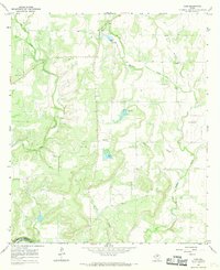
1967 · Voss
USGS Topo · 1:24,000