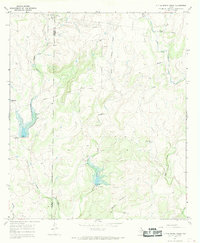
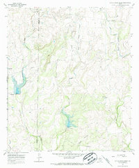
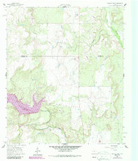
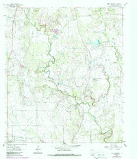
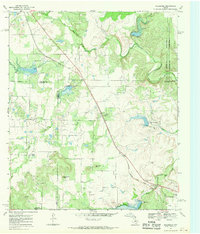
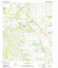
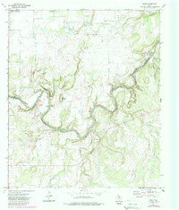
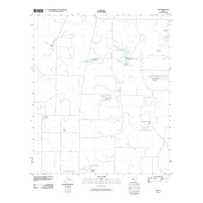
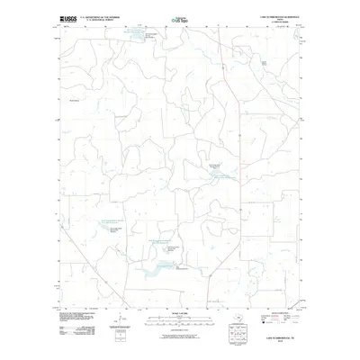
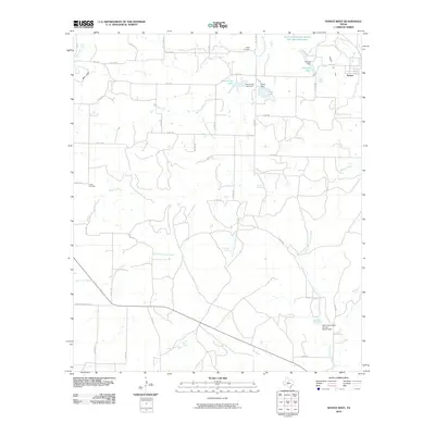
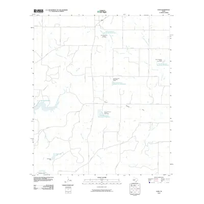
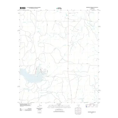
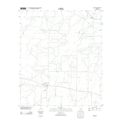
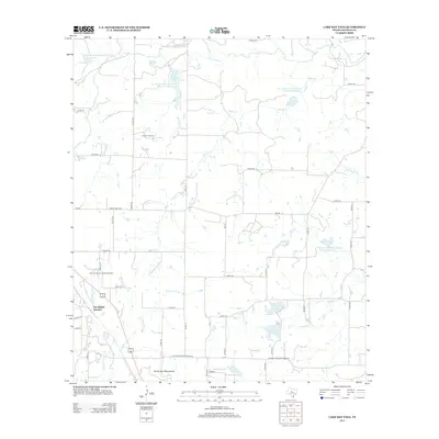
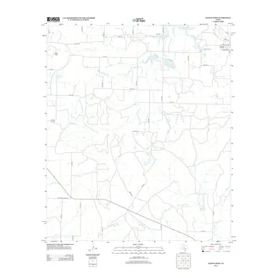
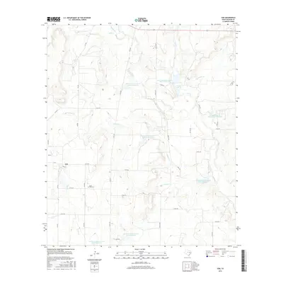
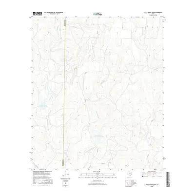
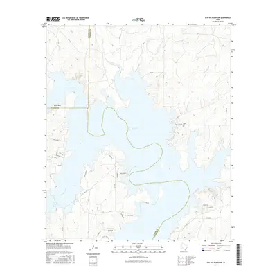
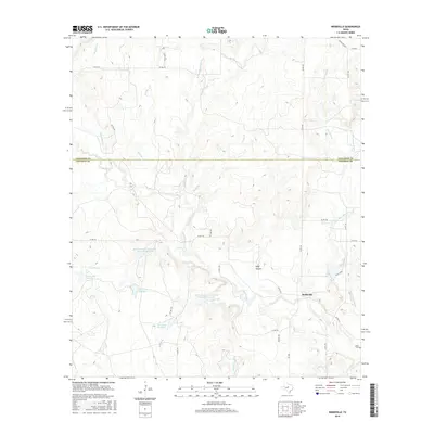
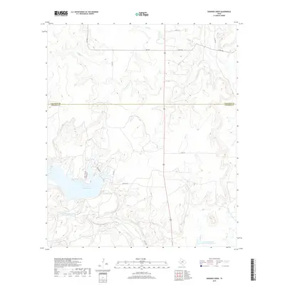
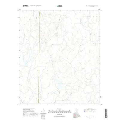
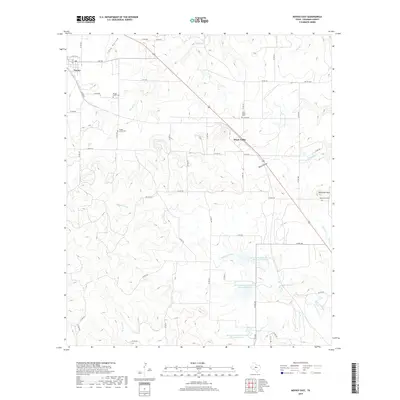
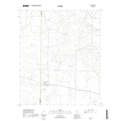
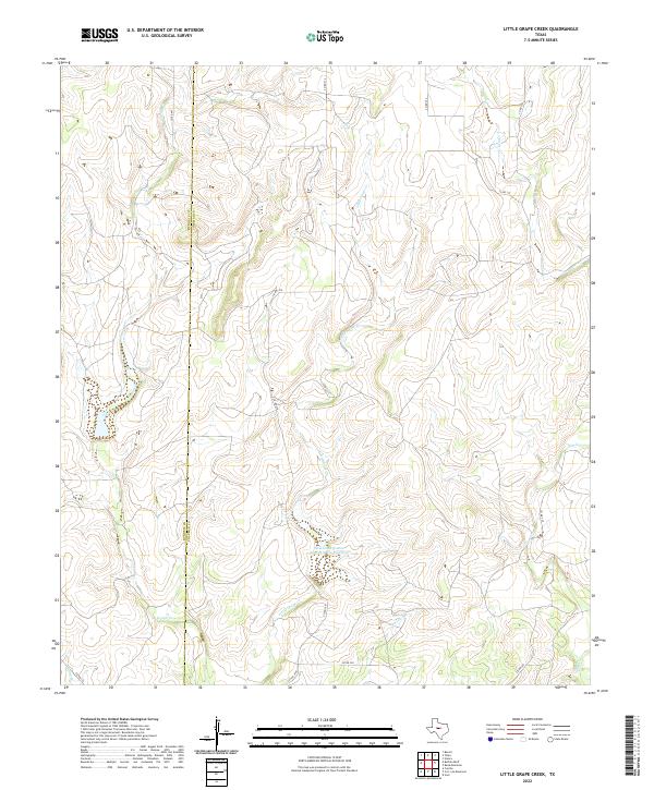
1967 Map of Little Grape Creek
USGS Topo · Published 1969About this map
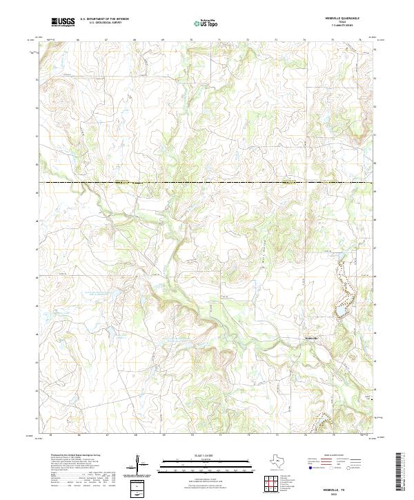
The county line between Runnels Co and Coleman Co bisects this West Texas landscape, where the local economy of the late 1960s is defined by resource extraction and water management. Clusters of Oil Wells, Oil Well, and Gas Wells are scattered across the terrain, connected by a network of industrial Pipelines. The drainage systems of Grape Creek and Little Grape Creek are punctuated by several engineered structures, including a Spillway and Riser, indicating a landscape modified for ranching or flood control. Aside from the industrial footprints of various Gravel Pits and a Substa Radio Tower, the area remains primarily rural, characterized by the winding paths of Spring Creek, Elm Creek, and Wheeler Branch.
Find a feature on this map
20 named features on this map. Tap any name to fly to it.
Don’t see what you’re looking for? This feature index may not catch every label — zoom into the map to look around manually.
Map Details
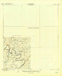
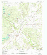
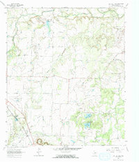
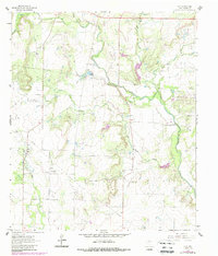
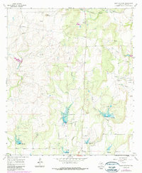
Editions of this 1967 Little Grape Creek Map
3 editions found
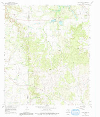
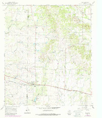
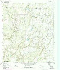
Historical Maps of Coleman County Through Time
111 maps found

1924 Brady 2-a
Coleman County, TX

1925 Ballinger 4-c
Coleman County, TX
1932 Voss
Coleman County, TX
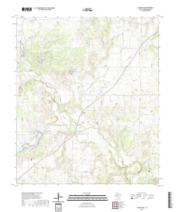
1960 Coleman NE
Coleman County, TX
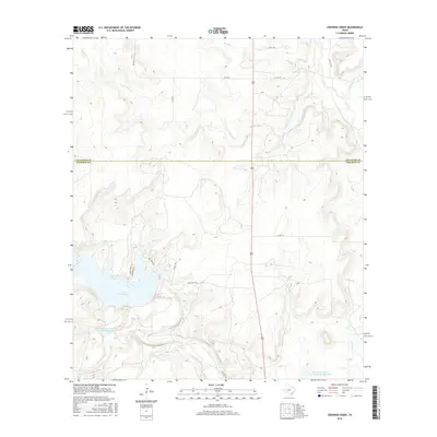
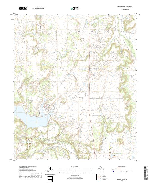
1960 Crooked Creek
Coleman County, TX
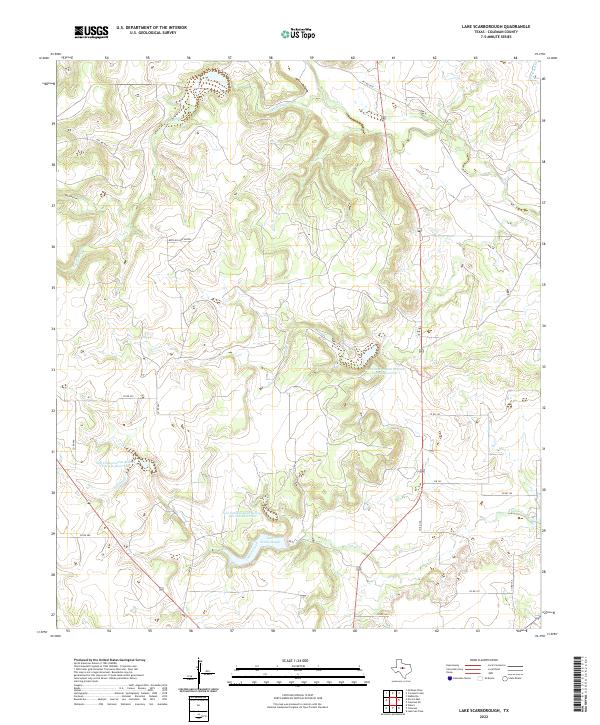
1960 Lake Scarborough
Coleman County, TX
1960 Webbville
Coleman County, TX
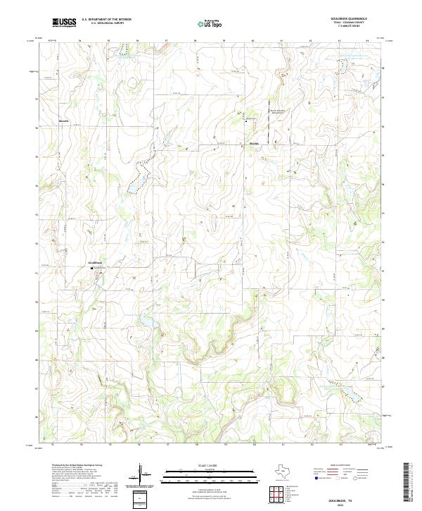
1962 Gouldbusk
Coleman County, TX
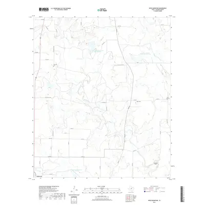
1962 Speck Mountain
Coleman County, TX
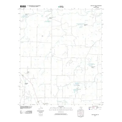
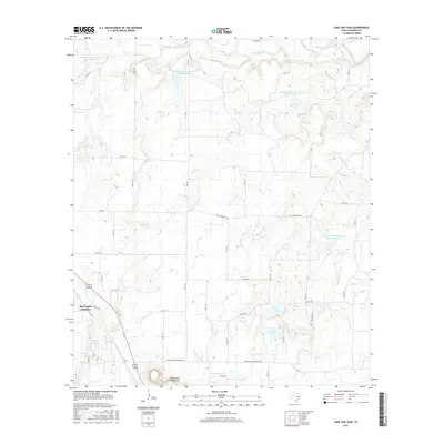
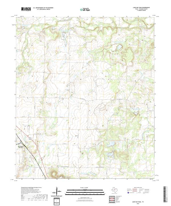
1963 Lake San Tana
Coleman County, TX
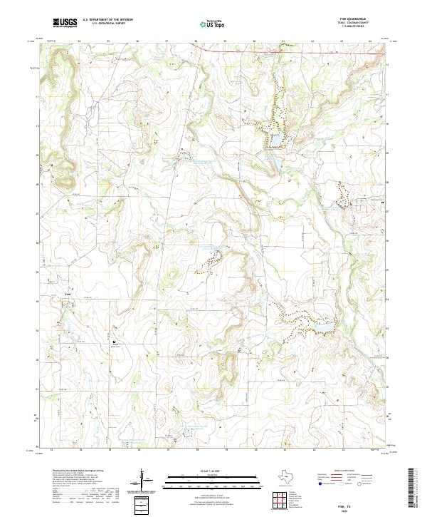
1964 Fisk
Coleman County, TX
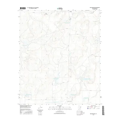
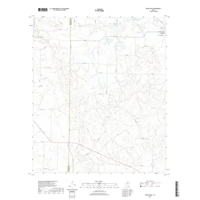
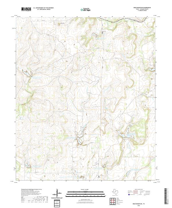
1967 Bead Mountain
Coleman County, TX
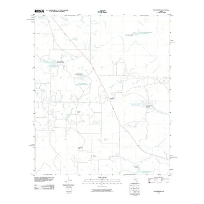
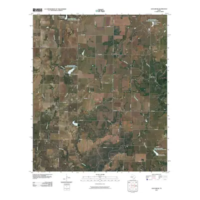
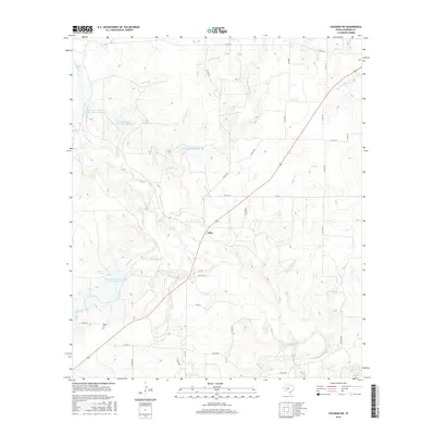
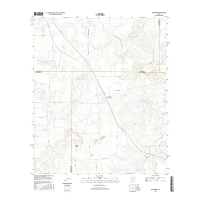
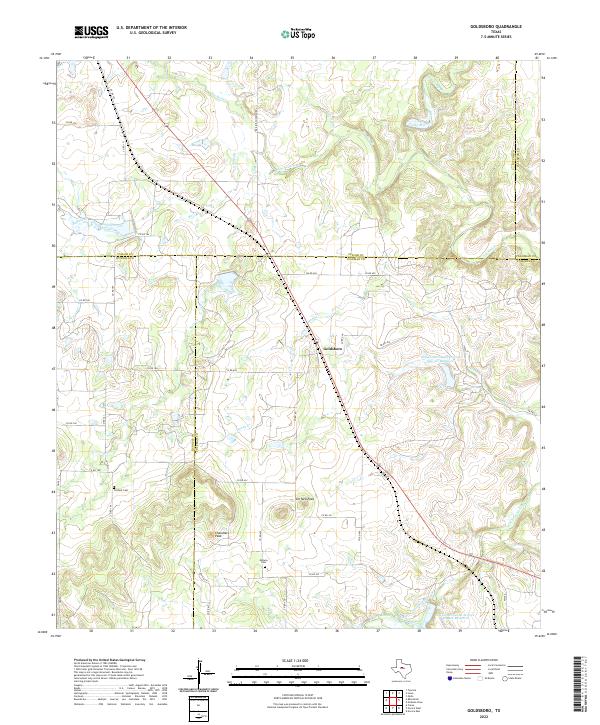
1967 Goldsboro
Coleman County, TX
1967 Leaday
Coleman County, TX
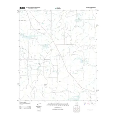
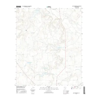
1967 Little Grape Creek
Coleman County, TX
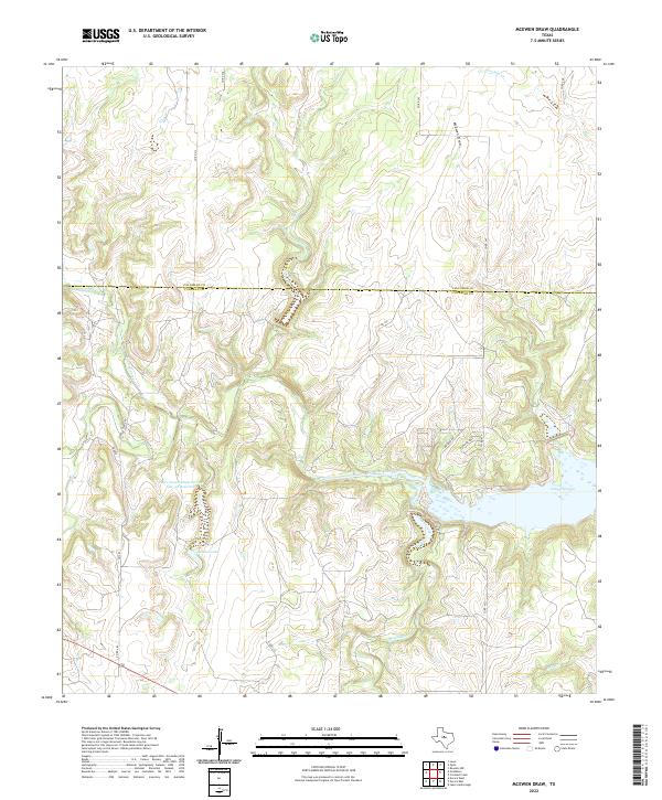
1967 McEwen Draw
Coleman County, TX
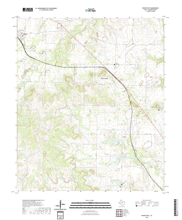
1967 Novice East
Coleman County, TX
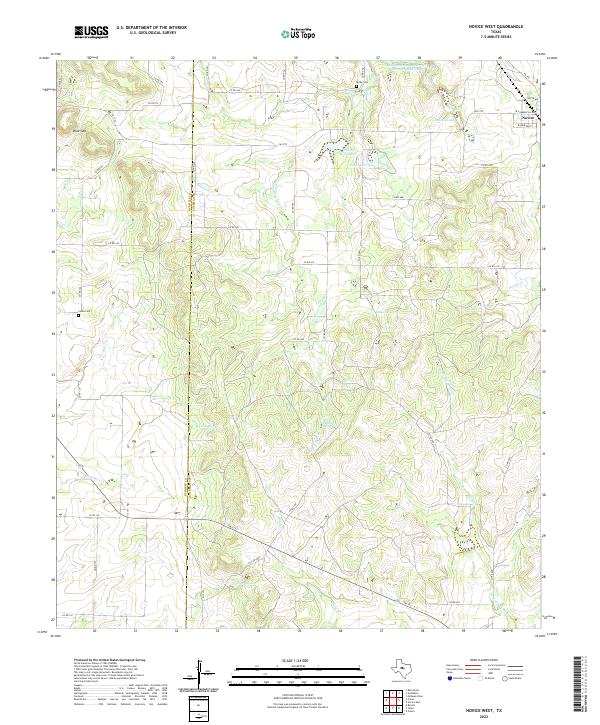
1967 Novice West
Coleman County, TX
1967 Talpa
Coleman County, TX
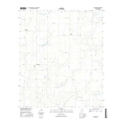
1967 Voss
Coleman County, TX
1973 Whon
Coleman County, TX
2010 Bead Mountain
Coleman County, TX
2010 Coleman NE
Coleman County, TX
2010 Crooked Creek
Coleman County, TX
2010 Fisk
Coleman County, TX
2010 Goldsboro
Coleman County, TX
2010 Gouldbusk
Coleman County, TX
2010 Lake San Tana
Coleman County, TX
2010 Lake Scarborough
Coleman County, TX
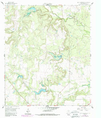
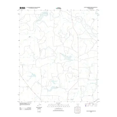
2010 Little Grape Creek
Coleman County, TX
2010 McEwen Draw
Coleman County, TX
2010 Novice East
Coleman County, TX
2010 Novice West
Coleman County, TX
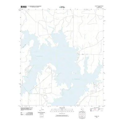
2010 O.H. Ivie Reservoir
Coleman County, TX
2010 Speck Mountain
Coleman County, TX
2010 Talpa
Coleman County, TX
2010 Voss
Coleman County, TX
2010 Webbville
Coleman County, TX
2010 Whon
Coleman County, TX
2012 Coleman NE
Coleman County, TX
2012 Crooked Creek
Coleman County, TX
2012 Goldsboro
Coleman County, TX
2012 Gouldbusk
Coleman County, TX
2012 McEwen Draw
Coleman County, TX
2012 Talpa
Coleman County, TX
2012 Webbville
Coleman County, TX
2013 Bead Mountain
Coleman County, TX
2013 Fisk
Coleman County, TX
2013 Lake San Tana
Coleman County, TX
2013 Lake Scarborough
Coleman County, TX
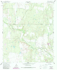
2013 Little Grape Creek
Coleman County, TX
2013 Novice East
Coleman County, TX
2013 Novice West
Coleman County, TX
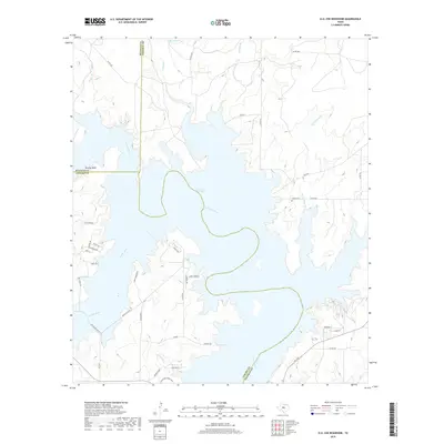
2013 O.H. Ivie Reservoir
Coleman County, TX

2013 Speck Mountain
Coleman County, TX
2013 Voss
Coleman County, TX
2013 Whon
Coleman County, TX
2016 Bead Mountain
Coleman County, TX
2016 Coleman NE
Coleman County, TX
2016 Crooked Creek
Coleman County, TX
2016 Fisk
Coleman County, TX
2016 Goldsboro
Coleman County, TX
2016 Gouldbusk
Coleman County, TX
2016 Lake San Tana
Coleman County, TX
2016 Lake Scarborough
Coleman County, TX
2016 Little Grape Creek
Coleman County, TX
2016 McEwen Draw
Coleman County, TX
2016 Novice East
Coleman County, TX
2016 Novice West
Coleman County, TX
2016 O.H. Ivie Reservoir
Coleman County, TX
2016 Speck Mountain
Coleman County, TX
2016 Talpa
Coleman County, TX
2016 Voss
Coleman County, TX
2016 Webbville
Coleman County, TX
2016 Whon
Coleman County, TX
2019 Bead Mountain
Coleman County, TX
2019 Coleman NE
Coleman County, TX
2019 Crooked Creek
Coleman County, TX
2019 Fisk
Coleman County, TX
2019 Goldsboro
Coleman County, TX
2019 Gouldbusk
Coleman County, TX
2019 Lake San Tana
Coleman County, TX
2019 Lake Scarborough
Coleman County, TX
2019 Little Grape Creek
Coleman County, TX
2019 McEwen Draw
Coleman County, TX
2019 Novice East
Coleman County, TX
2019 Novice West
Coleman County, TX
2019 O.H. Ivie Reservoir
Coleman County, TX
2019 Speck Mountain
Coleman County, TX
2019 Talpa
Coleman County, TX
2019 Voss
Coleman County, TX
2019 Webbville
Coleman County, TX
2019 Whon
Coleman County, TX
2022 Bead Mountain
Coleman County, TX
2022 Coleman NE
Coleman County, TX
2022 Crooked Creek
Coleman County, TX
2022 Fisk
Coleman County, TX
2022 Goldsboro
Coleman County, TX
2022 Gouldbusk
Coleman County, TX
2022 Lake San Tana
Coleman County, TX
2022 Lake Scarborough
Coleman County, TX
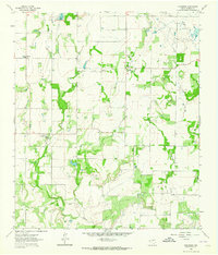
2022 Little Grape Creek
Coleman County, TX
2022 McEwen Draw
Coleman County, TX
2022 Novice East
Coleman County, TX
2022 Novice West
Coleman County, TX
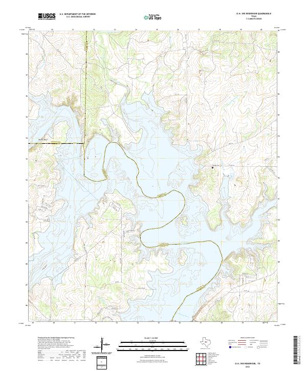
2022 O.H. Ivie Reservoir
Coleman County, TX
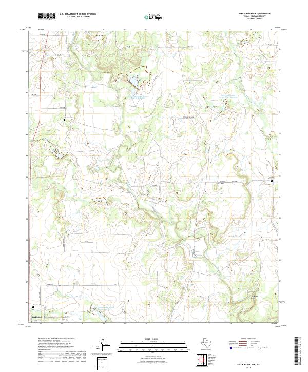
2022 Speck Mountain
Coleman County, TX
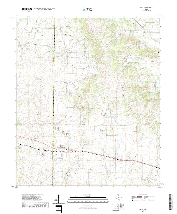
2022 Talpa
Coleman County, TX
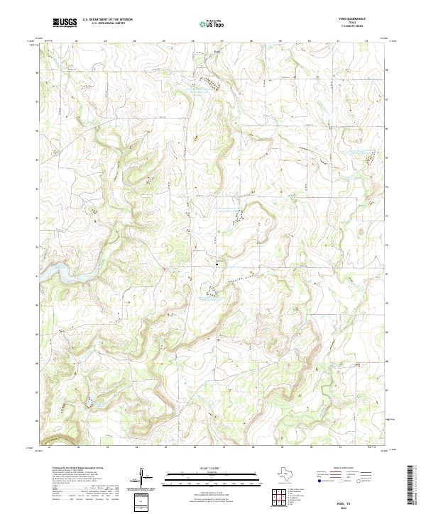
2022 Voss
Coleman County, TX
2022 Webbville
Coleman County, TX
2022 Whon
Coleman County, TX