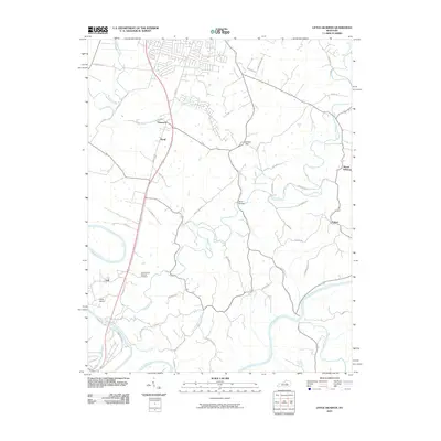
2010 Map of Little Hickman
USGS Topo · Published 2010About this map
Camp Nelson and its surrounding river bends anchor this modern survey of the central Kentucky landscape. The topography is defined by the winding course of the Kentucky River, which carves deep into the limestone, joined by Hickman Creek and Little Hickman Creek. This area, historically significant for its strategic position along the Danville Rd, features the Camp Nelson National Cemetery and the settlement of Hall.
Find a feature on this map
45 named features on this map. Tap any name to fly to it.
Don’t see what you’re looking for? This feature index may not catch every label — zoom into the map to look around manually.
Map Details
Editions of this 2010 Little Hickman Map
This is the sole edition of this map. No revisions or reprints were ever made.
Other maps of this area

1892 · Richmond
USGS Topo · 1:125,000

1897 · Richmond
USGS Topo · 1:125,000

1905 · Harrodsburg
USGS Topo · 1:125,000

1950 · Bryantsville
USGS Topo · 1:24,000

1952 · Keene
USGS Topo · 1:24,000

1952 · Valley View
USGS Topo · 1:24,000

1952 · Little Hickman
USGS Topo · 1:24,000

1952 · Nicholasville
USGS Topo · 1:24,000

1952 · Buckeye
USGS Topo · 1:24,000

1952 · Coletown
USGS Topo · 1:24,000