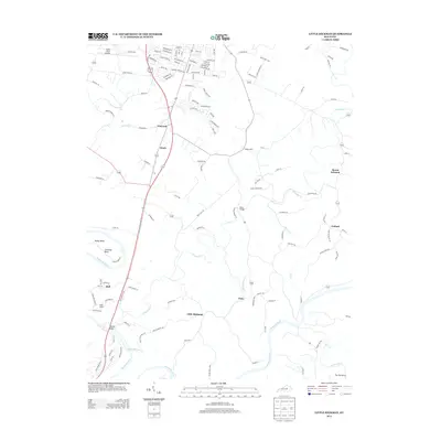
2013 Map of Little Hickman
USGS Topo · Published 2013About this map
The Kentucky River carves a deep, winding path through the limestone landscape of southern Jessamine County, defining the western and southern boundaries of this area. Along the sharp river meander at Pollys Bend, striking geological landmarks like Chimney Rock and Boones Knob rise above the water. These terrain features, alongside the river's path, have historically shaped local transport, from old crossings to the placement of Camp Nelson near the western edge.
Find a feature on this map
129 named features on this map. Tap any name to fly to it.
Don’t see what you’re looking for? This feature index may not catch every label — zoom into the map to look around manually.
Map Details
Editions of this 2013 Little Hickman Map
This is the sole edition of this map. No revisions or reprints were ever made.
Other maps of this area

1892 · Richmond
USGS Topo · 1:125,000

1897 · Richmond
USGS Topo · 1:125,000

1905 · Harrodsburg
USGS Topo · 1:125,000

1950 · Bryantsville
USGS Topo · 1:24,000

1952 · Keene
USGS Topo · 1:24,000

1952 · Valley View
USGS Topo · 1:24,000

1952 · Little Hickman
USGS Topo · 1:24,000

1952 · Nicholasville
USGS Topo · 1:24,000

1952 · Buckeye
USGS Topo · 1:24,000

1952 · Coletown
USGS Topo · 1:24,000