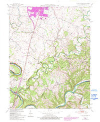
2022 Map of Little Hickman
USGS Topo · Published 2022About this map
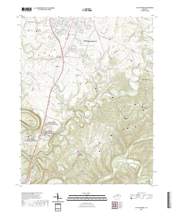
Camp Nelson National Monument and the Camp Nelson National Cemetery anchor the western portion of this Jessamine County survey, marking a site of immense significance for the region's Civil War history and African American heritage. The landscape is defined by the winding course of the Kentucky River, which forms sharp bends around Pollys Bend and prominent landmarks like Chimney Rock and Boones Knob. Between the river and the southern edge of Nicholasville, a dense network of family-named burial grounds and small communities illustrates a deeply rooted rural settlement pattern. Numerous family cemeteries, such as the Hogan Family Cemetery, Miller Family Cemetery, and Evans Graveyard, are scattered across the terrain near Little Hickman and Pink. These sites, alongside the transition from suburban Nicholasville to the ridge-and-valley farmsteads, provide researchers with a detailed view of the local genealogy and land use in this part of the Bluegrass region.
Find a feature on this map
168 named features on this map. Tap any name to fly to it.
Don’t see what you’re looking for? This feature index may not catch every label — zoom into the map to look around manually.
Map Details
Editions of this 2022 Little Hickman Map
This is the sole edition of this map. No revisions or reprints were ever made.