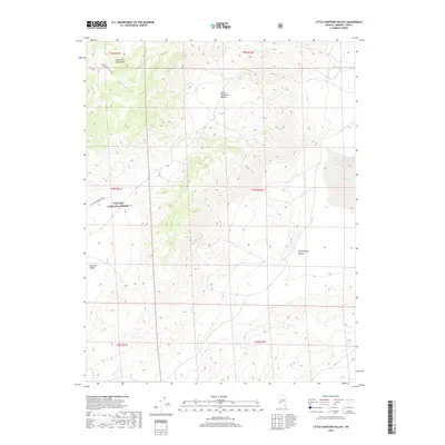
2018 Map of Little Huntoon Valley
USGS Topo · Published 2018About this map
Excelsior Mountains dominate this high-desert landscape in Mineral County, Nevada, providing a topographic backdrop to the arid basins of Little Huntoon Valley and Huntoon Valley. The terrain is marked by significant elevation changes, falling away into the Jacks Spring Canyon and the seasonally dry bed of Teels Marsh to the east. Historically, this area was defined by its remoteness and the management of public lands, much of which falls within the Toiyabe National Forest. The presence of the Little Huntoon Trail indicates established routes through these basins, while Jacks Cr represents the sparse drainage network of this high-altitude basin-and-range geography.
Find a feature on this map
14 named features on this map. Tap any name to fly to it.
Don’t see what you’re looking for? This feature index may not catch every label — zoom into the map to look around manually.
Map Details
Editions of this 2018 Little Huntoon Valley Map
This is the sole edition of this map. No revisions or reprints were ever made.
Other maps of this area

1909 · Hawthorne
USGS Topo · 1:250,000

1911 · Hawthorne
USGS Topo · 1:250,000

1915 · Hawthorne
USGS Topo · 1:250,000

1948 · Walker Lake
USGS Topo · 1:250,000

1955 · Powell Mtn
USGS Topo · 1:62,500

1957 · Walker Lake
USGS Topo · 1:250,000

1958 · Huntoon Valley
USGS Topo · 1:62,500

1962 · Walker Lake
USGS Topo · 1:250,000

1964 · Walker Lake
USGS Topo · 1:250,000

1967 · Moho Mountain
USGS Topo · 1:24,000