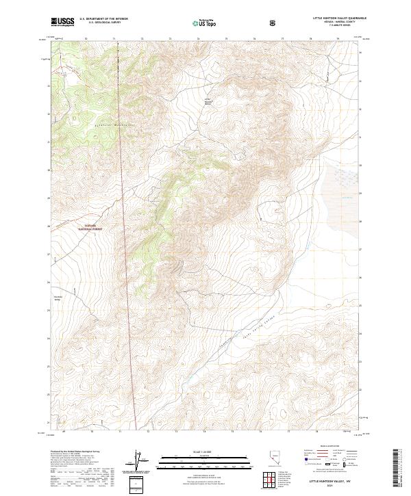
2021 Map of Little Huntoon Valley
USGS Topo · Published 2021About this map
Excelsior Mountains dominate the landscape of this Mineral County survey, forming a high barrier that overlooks the high-desert basins of Little Huntoon Valley and Huntoon Valley. The terrain is defined by extreme relief and drainages such as Jacks Spring Canyon, where Jacks Cr flows toward the eastern margin. Human passage through this high-altitude environment is recorded by a network of historic routes including the Cone Trl and the Little Huntoon Trl, which navigate the steep contours of the Toiyabe National Forest. Near the eastern edge, the elevation drops toward Teels Marsh, a salt pan that reflects the region's characteristic terminal basin geography. The map provides a precise look at the township and range system, marking boundaries like t4n r31e and t5n r32e across the uninhabited desert peaks.
Find a feature on this map
16 named features on this map. Tap any name to fly to it.
Don’t see what you’re looking for? This feature index may not catch every label — zoom into the map to look around manually.
Map Details
Editions of this 2021 Little Huntoon Valley Map
This is the sole edition of this map. No revisions or reprints were ever made.
Other maps of this area

1909 · Hawthorne
USGS Topo · 1:250,000

1911 · Hawthorne
USGS Topo · 1:250,000

1915 · Hawthorne
USGS Topo · 1:250,000

1948 · Walker Lake
USGS Topo · 1:250,000

1955 · Powell Mtn
USGS Topo · 1:62,500

1957 · Walker Lake
USGS Topo · 1:250,000

1958 · Huntoon Valley
USGS Topo · 1:62,500

1962 · Walker Lake
USGS Topo · 1:250,000

1964 · Walker Lake
USGS Topo · 1:250,000

1967 · Moho Mountain
USGS Topo · 1:24,000