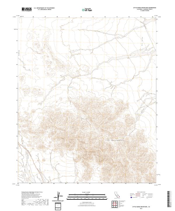
2021 Map of Little Maria Mountains
USGS Topo · Published 2021About this map
The Little Maria Mountains dominate this arid landscape in Riverside County, where steep terrain meets the broad alluvial expanse of Rice Valley. This modern topographic study reveals a desert environment shaped by seasonal water movement, as seen in the prominent Sand Draw and the isolated Tank Spring. Transportation through this remote section of the Colorado Desert is defined by long-established routes, including the paved Midland Rd in the northeast and the more primitive Palen Pass Rd and Palen Pass Trl to the southwest. The presence of these trails suggests a legacy of cross-desert passage through the mountain gaps, connecting the valley floors in an area otherwise marked by its topographic isolation.
Find a feature on this map
11 named features on this map. Tap any name to fly to it.
Don’t see what you’re looking for? This feature index may not catch every label — zoom into the map to look around manually.
Map Details
Editions of this 2021 Little Maria Mountains Map
This is the sole edition of this map. No revisions or reprints were ever made.
Other maps of this area

1942 · Blythe
USGS Topo · 1:250,000

1942 · Amboy
USGS Topo · 1:250,000

1943 · Amboy
USGS Topo · 1:250,000

1943 · Iron Mountains
USGS Topo · 1:62,500

1945 · Midland
USGS Topo · 1:62,500

1952 · Midland
USGS Topo · 1:62,500

1952 · Palen Mountains
USGS Topo · 1:62,500

1954 · Salton Sea
USGS Topo · 1:250,000

1954 · Needles
USGS Topo · 1:250,000

1954 · Rice
USGS Topo · 1:62,500