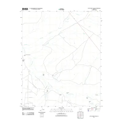
2011 Map of Little Milky Wash
USGS Topo · Published 2011About this map
The Little Colorado River winds through this arid landscape, defining the local geography alongside seasonal drainage systems like Milky Wash and Little Milky Wash. The area is characterized by vast draws and flats, most notably Hay Hollow and Cheney Flat, which reveal the topography of this high desert region. Human activity is marked by livestock-supporting infrastructure, with numerous catchments such as Thompson Tank, Purple Hill Tank, and Knoll Tank scattered across the terrain.
Find a feature on this map
31 named features on this map. Tap any name to fly to it.
Don’t see what you’re looking for? This feature index may not catch every label — zoom into the map to look around manually.
Map Details
Editions of this 2011 Little Milky Wash Map
This is the sole edition of this map. No revisions or reprints were ever made.
Other maps of this area

1886 · St Johns
USGS Topo · 1:250,000

1892 · St Johns
USGS Topo · 1:250,000

1912 · Petrified Forest
USGS Topo · 1:62,500

1954 · Saint Johns
USGS Topo · 1:250,000

1955 · Petrified Forest
USGS Topo · 1:62,500

1955 · Adamana 1 SW
USGS Topo · 1:24,000

1955 · Adamana 3 NE
USGS Topo · 1:24,000

1955 · Adamana 4 SW
USGS Topo · 1:24,000

1955 · Adamana 4 NW
USGS Topo · 1:24,000

1955 · Adamana 3 SE
USGS Topo · 1:24,000