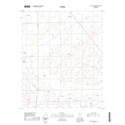
2021 Map of Little Milky Wash
USGS Topo · Published 2021About this map
Goat Ranch and the winding course of the Little Colorado River define this high-desert landscape in northern Arizona. The area is characterized by a complex network of ephemeral drainages and stock tanks essential for ranching in this arid climate, including Milky Wash, Little Milky Wash, and Wild Cow Wash. To the east, the prominent Potter Mesa rises above the surrounding plains, overlooking various named draws such as Sandoval Draw and Cheney Draw. The map records a transition from traditional land use to contemporary developments, noted by a mix of historic ranching sites and modern local roads. Travelers and residents navigate the terrain via descriptively named routes like Wicked Sisters Way and Woodruff Hay Hollow Rd, which connect the scattered water sources and topographical landmarks across the Navajo and Apache county line.
Find a feature on this map
37 named features on this map. Tap any name to fly to it.
Don’t see what you’re looking for? This feature index may not catch every label — zoom into the map to look around manually.
Map Details
Editions of this 2021 Little Milky Wash Map
This is the sole edition of this map. No revisions or reprints were ever made.
Other maps of this area

1886 · St Johns
USGS Topo · 1:250,000

1892 · St Johns
USGS Topo · 1:250,000

1912 · Petrified Forest
USGS Topo · 1:62,500

1954 · Saint Johns
USGS Topo · 1:250,000

1955 · Petrified Forest
USGS Topo · 1:62,500

1955 · Adamana 1 SW
USGS Topo · 1:24,000

1955 · Adamana 3 NE
USGS Topo · 1:24,000

1955 · Adamana 4 SW
USGS Topo · 1:24,000

1955 · Adamana 4 NW
USGS Topo · 1:24,000

1955 · Adamana 3 SE
USGS Topo · 1:24,000